Friday December 15, 42.7km/26.5mi
Base of Granite Mountain (655.5/3660ft) to Roy’s Motel and Cafe (682.0/640ft) (CA)
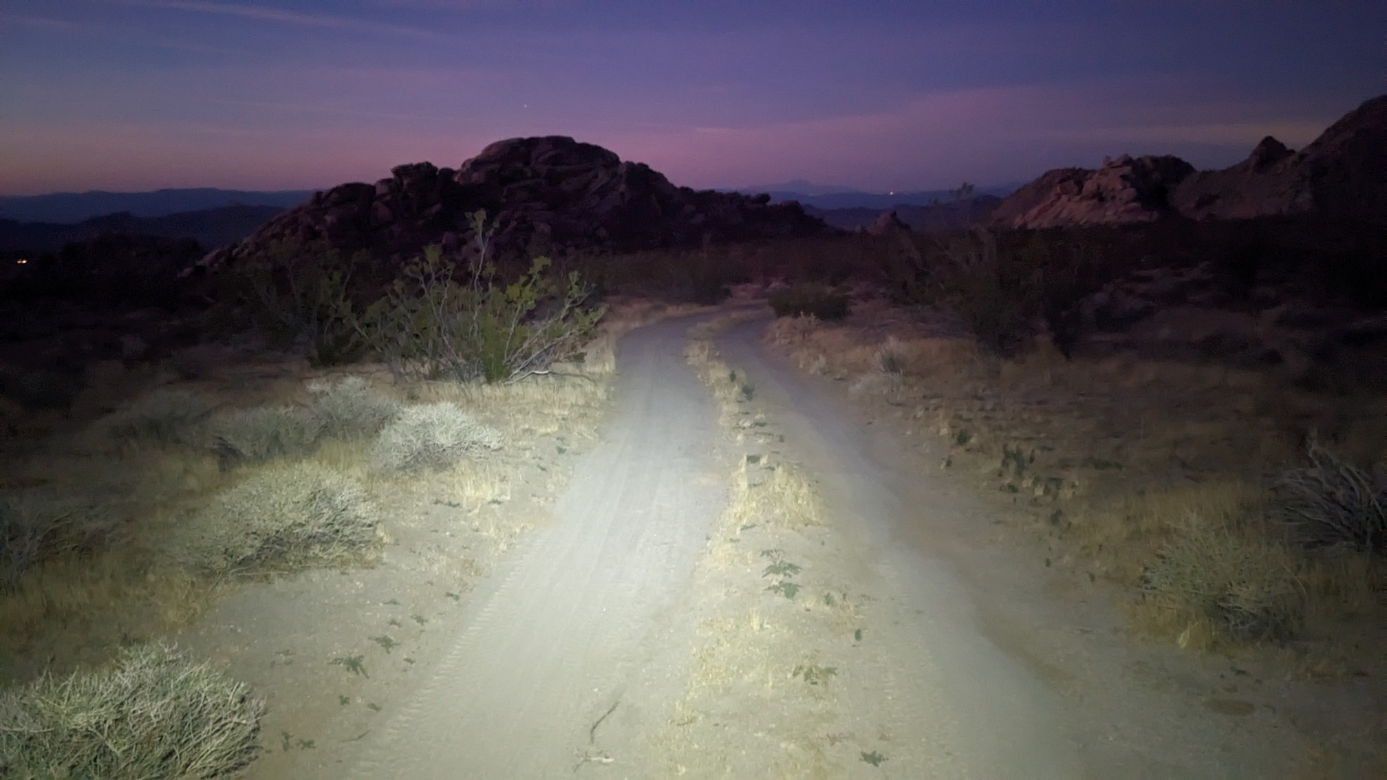
The weather must’ve changed, because we actually woke up to a non-frigid morning. I started hiking at 5:45am and I was wearing shorts! I used my headlamp for the first 15 minutes, as usual.
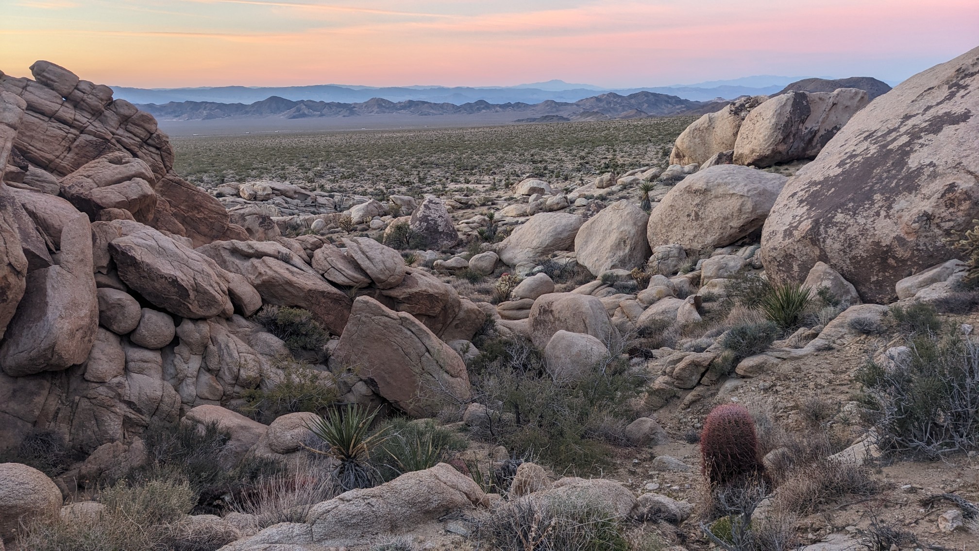
There was a short bit of cross-country hiking to a quail guzzler, which was brimming with water. I love it when it’s so easy to get water! Continuing onward, I climbed a small pass thru some granite boulders. The view looking south:
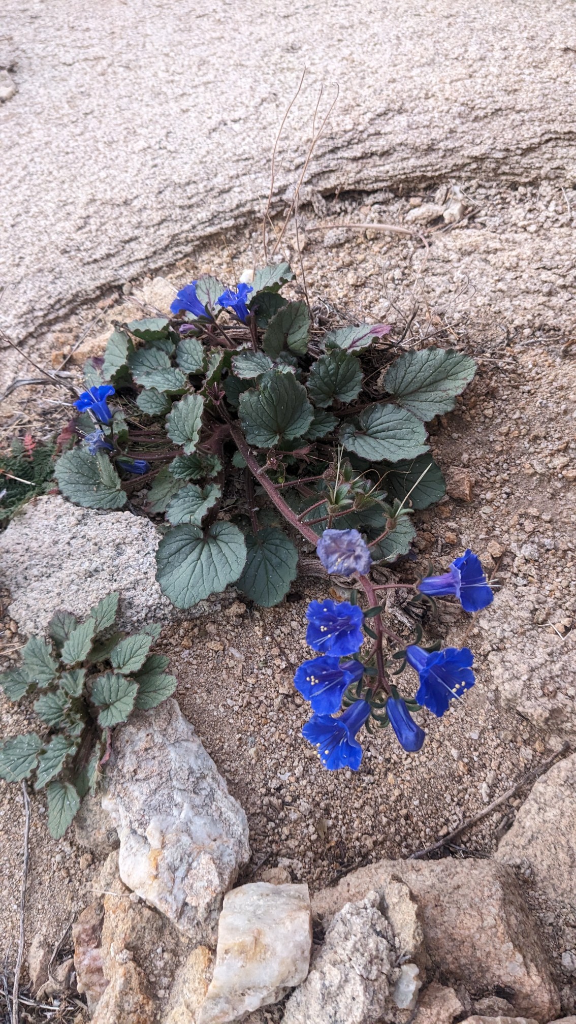
On the way down from the pass, I started seeing quite a few flowers. I hadn’t seen any in over a week, and all of a sudden they were everywhere. Blue ones!
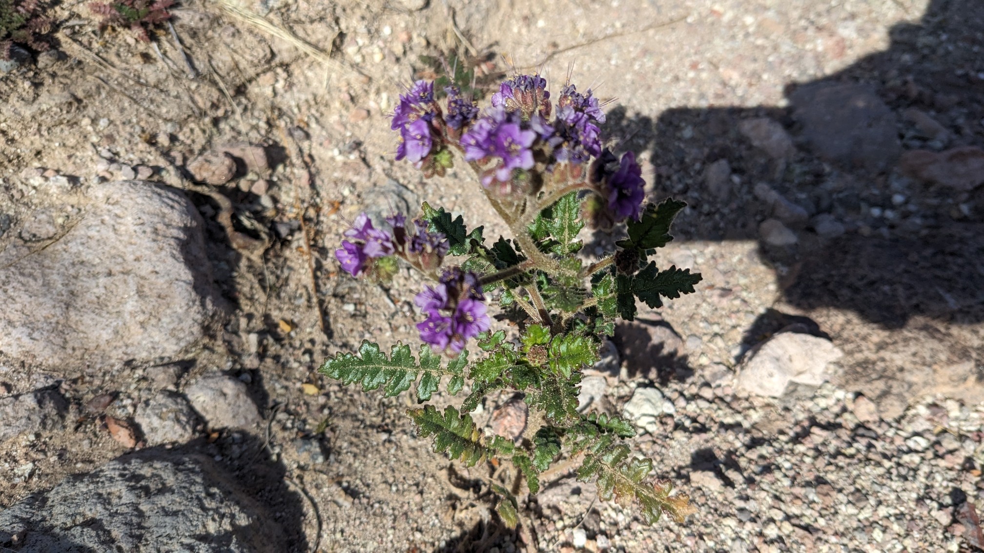
Purple ones!
I continued cross-country for a couple miles, eventually stopping for a break at Budweiser Spring. The spring was basically dry, with only a tiny amount of water and algae in the bottom of the trough. Yuck. Good thing I had plenty of water. TopShelf caught up, and we hiked down Orange Blossom Wash for a couple hours in the warm morning sun.
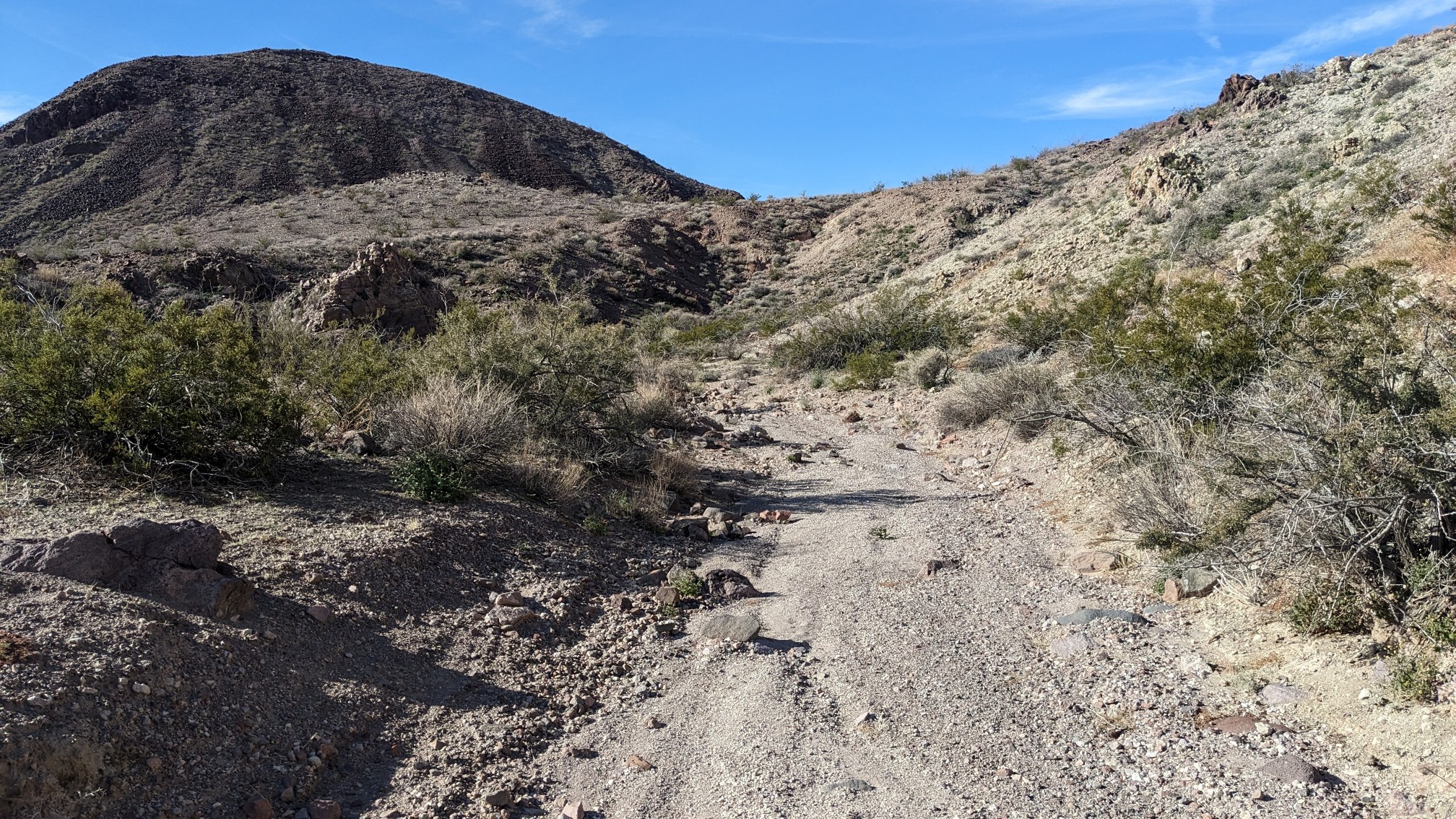
The wash became wider and easier to navigate, and I could hear the truck traffic as we approached the interstate 40.
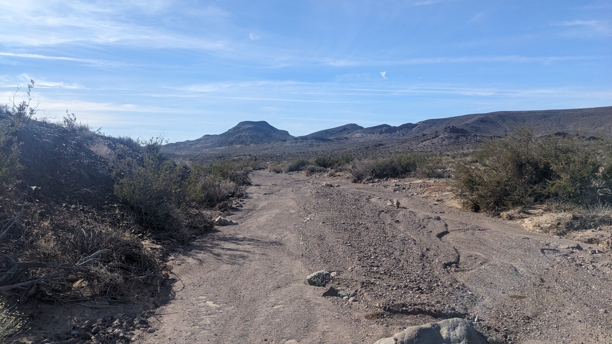
We crossed under the interstate in the wash, and hiked a few more minutes before stopping for lunch, away from the noise of the freeway. The afternoon started off with more nice wash travel.
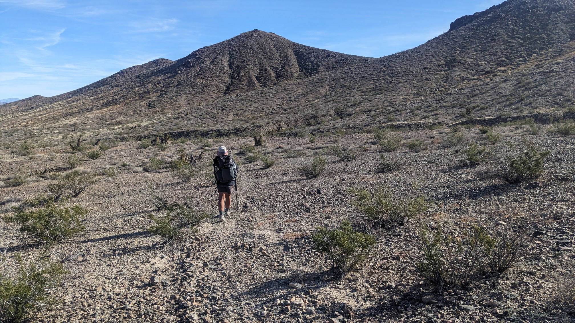
After we departed the wash, there was a convoluted series of turns, junctions, and passes…just to rejoin a road that we could see in the valley below us the whole time. It seemed pointless, and was my least favorite part of this section. After getting thru that part, we had a choice. Either descend on dirt roads to town, or take a fun Bighorn sheep trail down a steep mountain pass, rejoining the road in 3 miles. I chose the pass, TopShelf chose the road, and we agreed to meet in about an hour. From the top of the pass, I could see the valley I was about to descend into:
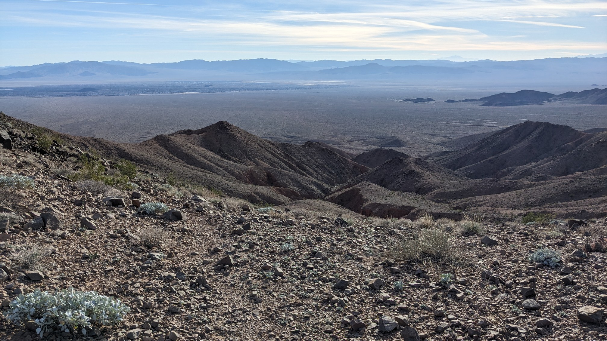
The trail was nicely contoured, although very narrow and rocky.
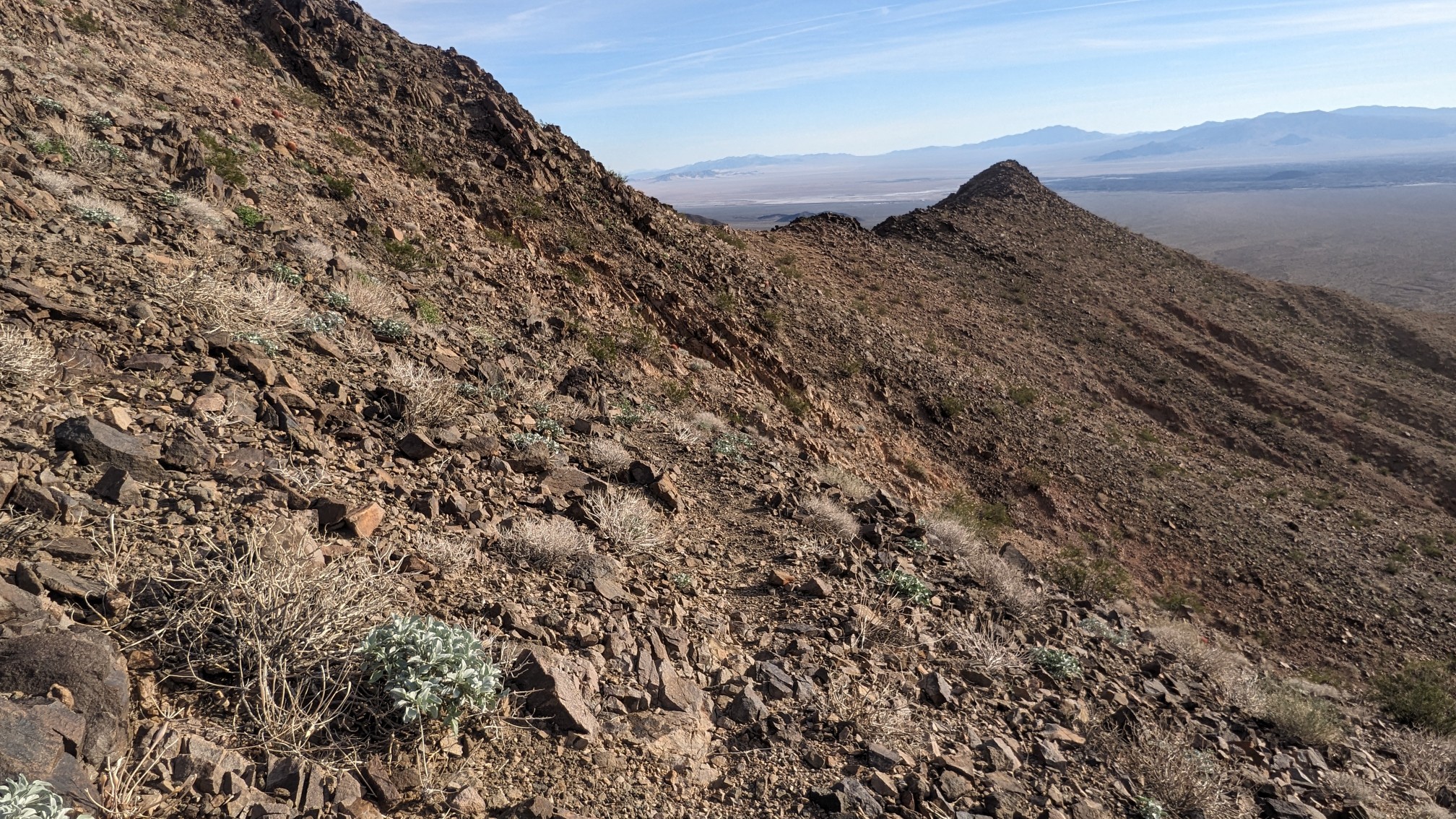
The view to the south, coming down one of the steep ridges:
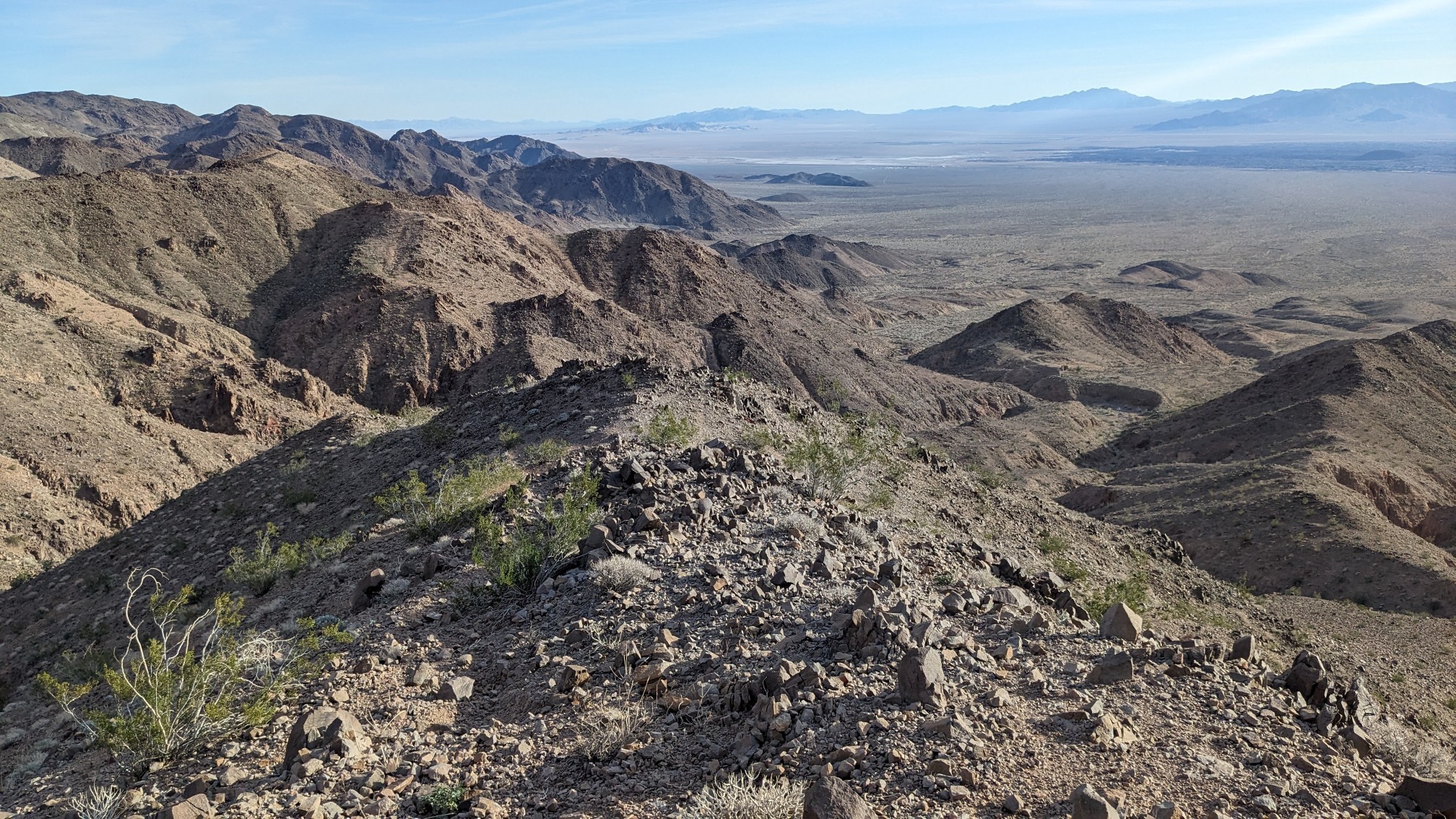
After 30 minutes of fun ridge hiking, I had descended all the way into a wash with a nearby dilapidated cabin.
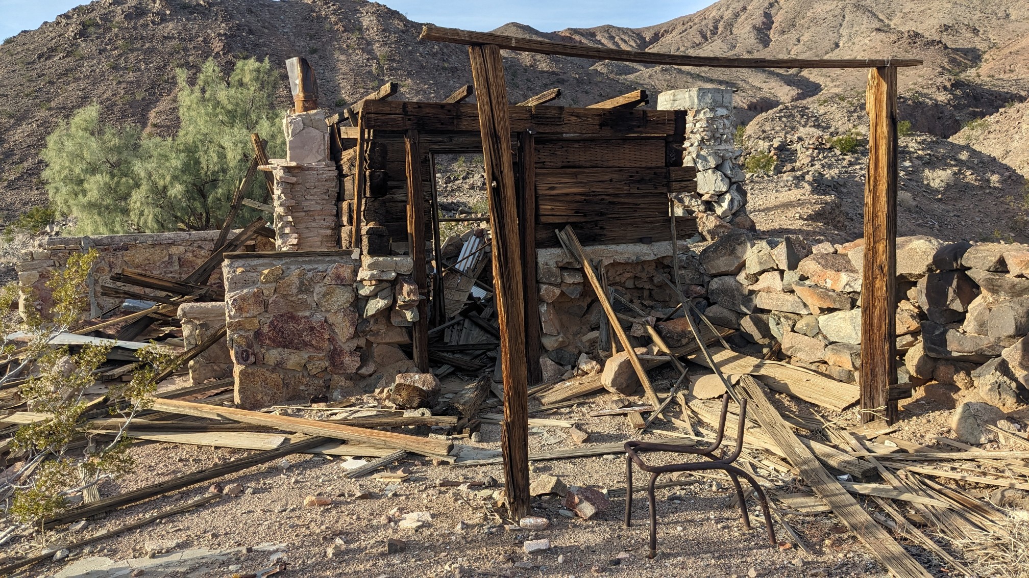
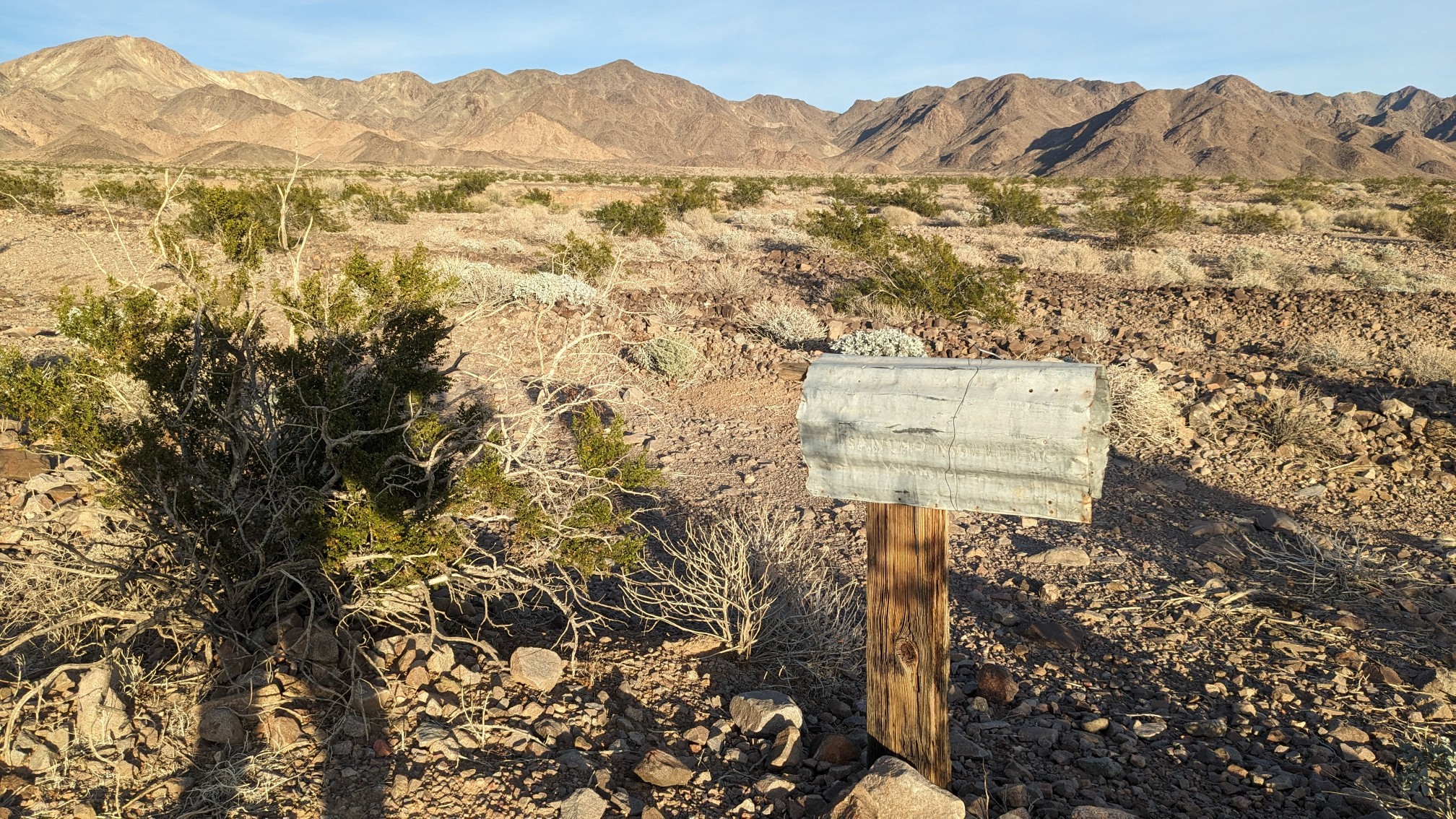
It’s called Miller’s Cabin, I think it’s an old mining cabin, but hard to tell. I hiked a mile down the cabin’s “driveway” to rejoin the road and meet TopShelf. They had an old mailbox at the end of the driveway, ha!
It was 3:45pm, and we hiked the rest of the day on old dirt roads. It was over 7 miles to town, and although we didn’t initially plan on making it there tonight, we just kept hiking.
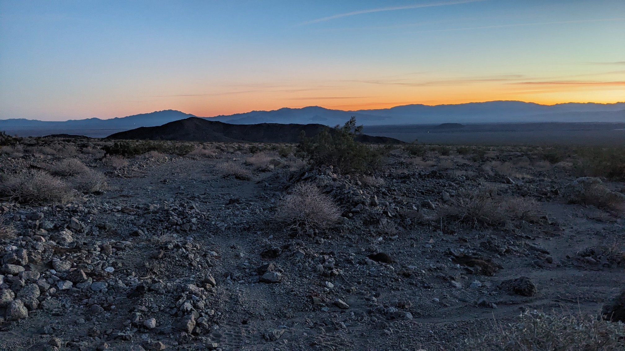
It was hard to find good camping spots in this rocky valley, and eventually we ended up so close we just decided to camp a few minutes from Amboy. There was no cell service here, so I sent an inReach message to a friend to confirm the store would still be open when we arrived and happily it was!
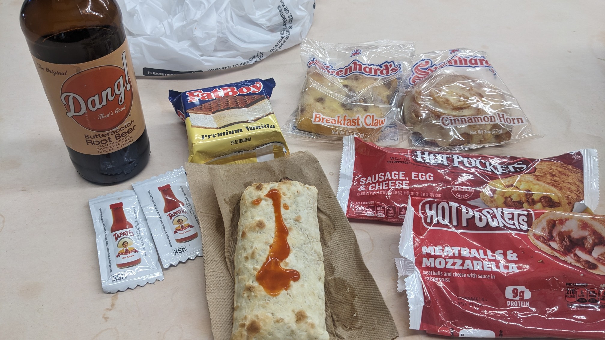
My dinner consisted of a couple hot pockets, a microwave burrito, soda, ice cream and chips. We hung out talking to the store employee, who was really friendly and interesting to talk with. She owns 8 pet snakes, including some pythons. Cool. Eventually we left, and hiked back a minute onto public BLM land and setup our tents, and fell asleep.
Cool old miner’s cabin & love the beautiful blue Dessert Belles flowers!