Wednesday December 20, 37.8km/23.5mi
Joshua Tree NP – Johns Camp (765.0/3880ft) to Joshua Tree NP – Quail Wash (787.5/3460ft) (CA) +1.0mi to water spigot
After a pretty solid night of sleep in our cozy camp spot, we started at 5:45am again. Since we were hiking in a wash, the navigation was easy.
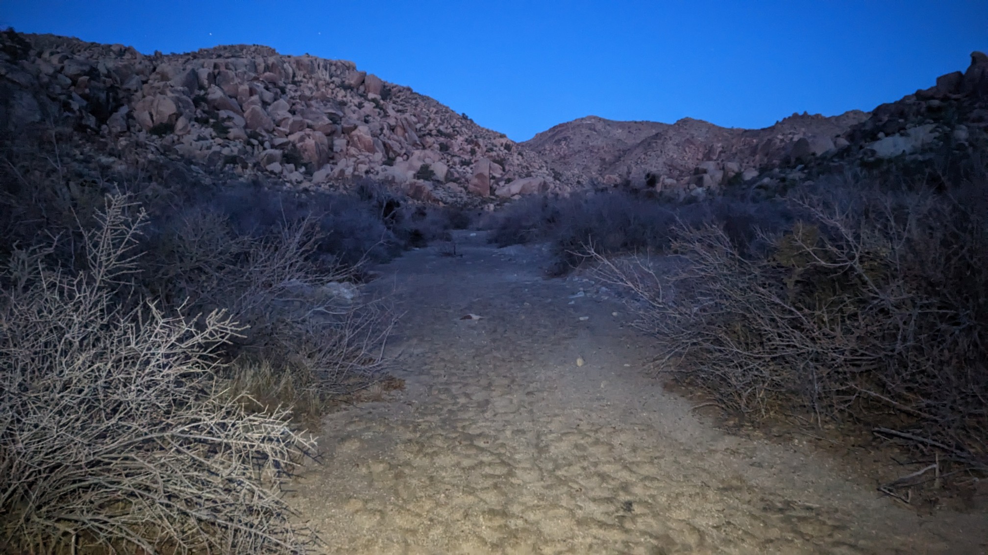
The view behind me to the east:
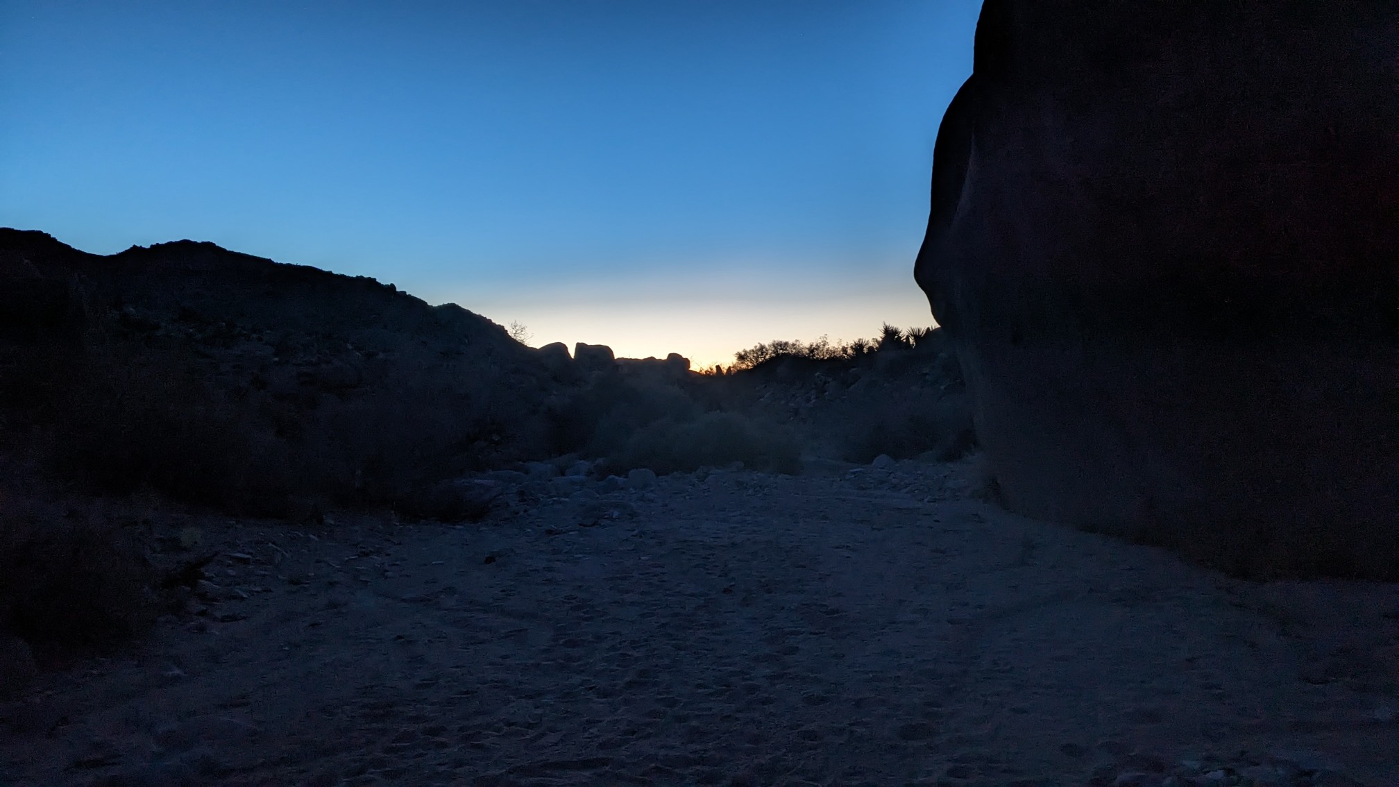
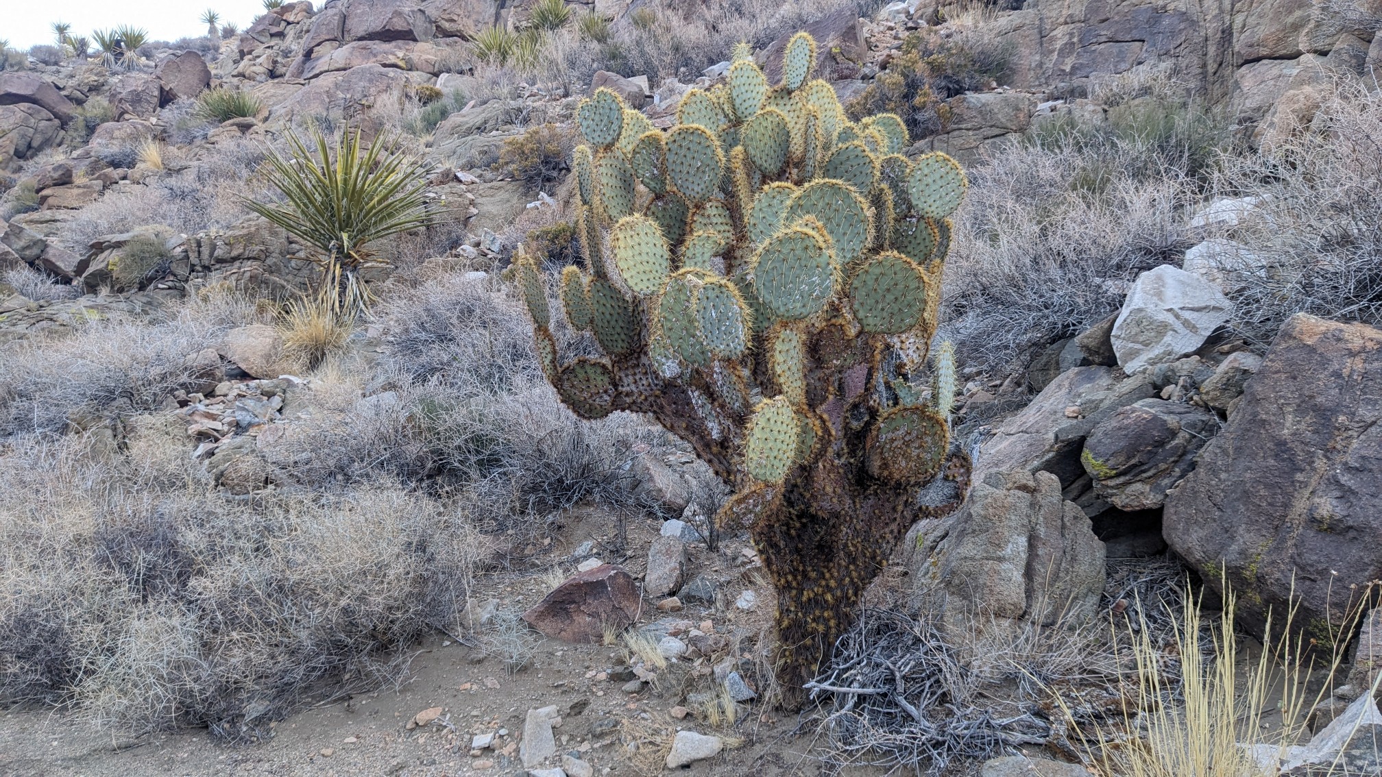
As we hiked uphill in the wide sandy wash, I noticed the local plant community was changing. I now saw more scrub oak, juniper, and prickly pear cactus.
After an hour of hiking uphill in a series of dwindling washes, we climbed up over a tiny pass, where there were great views of the park.
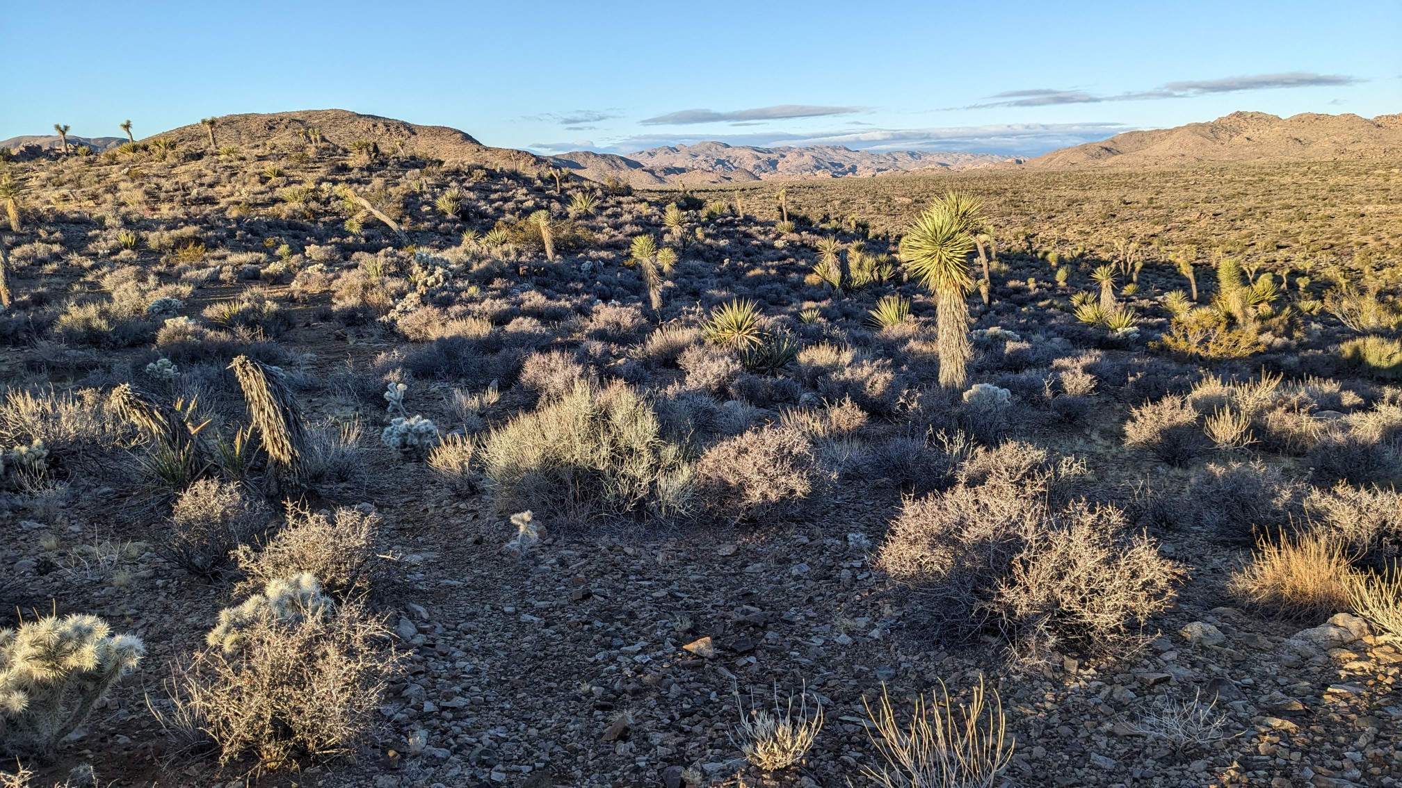
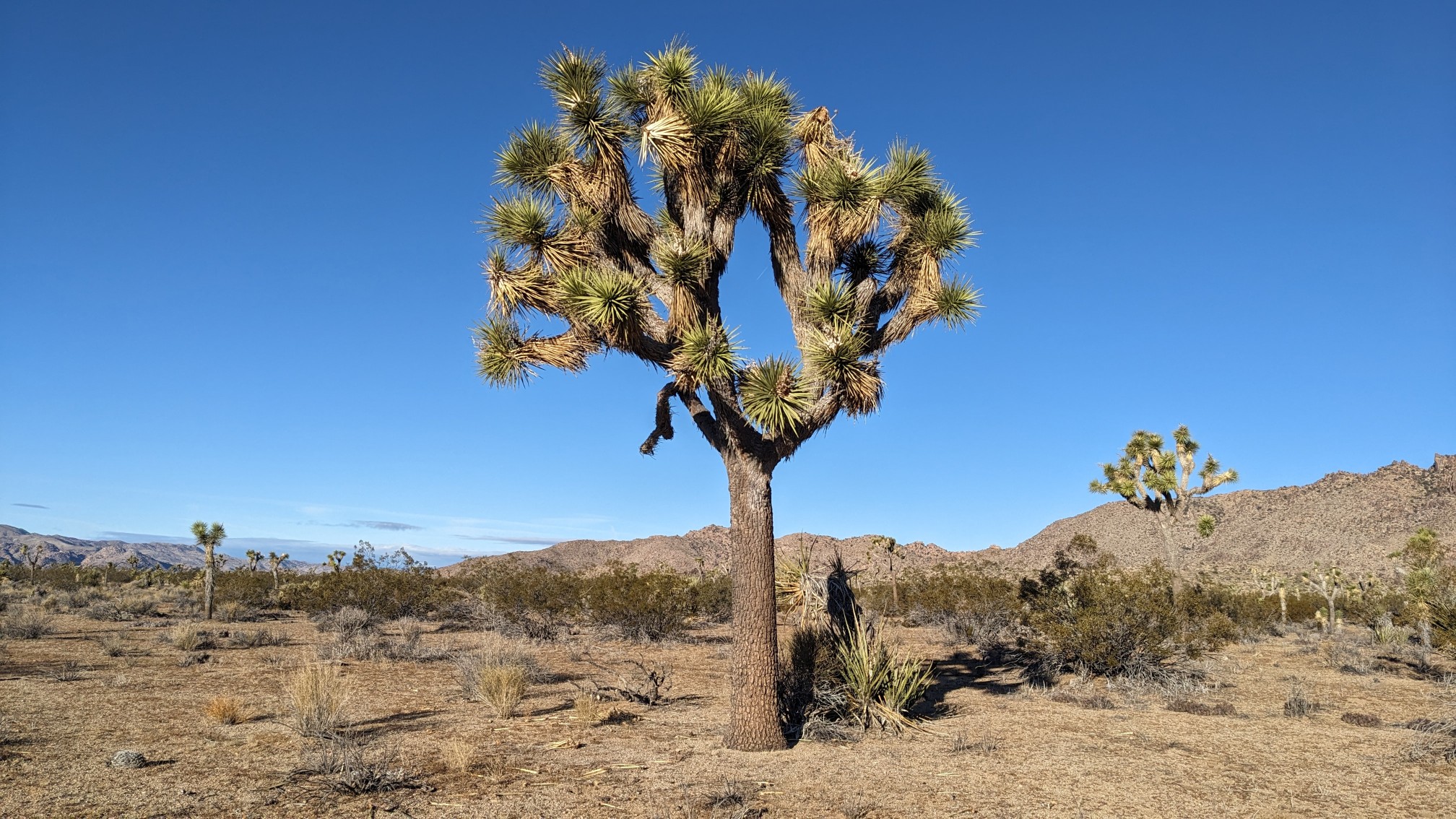
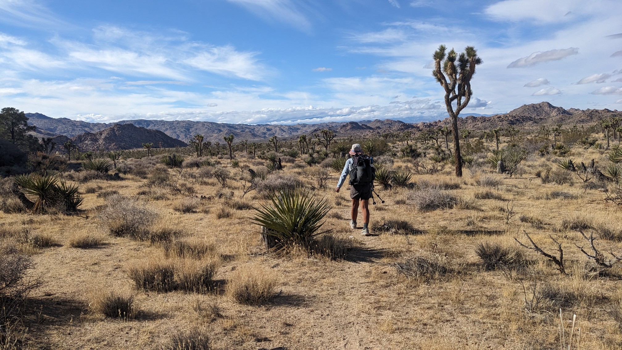
We slowly dropped in elevation, and crossed the Queen Valley. The quantity of Joshua Trees in this part of the park was impressive.
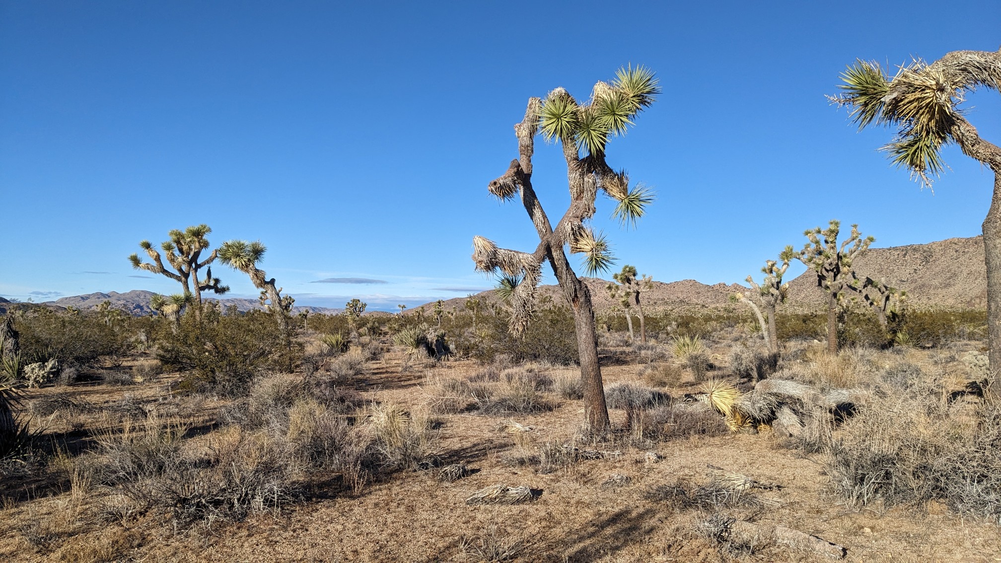
I thought this was a textbook example of a Joshua Tree.
Even after crossing the entire Queen Valley on a gradual descent, we were still pretty high. In the far distance, I could see Mt San Jacinto.
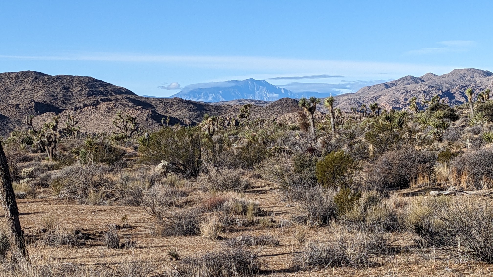
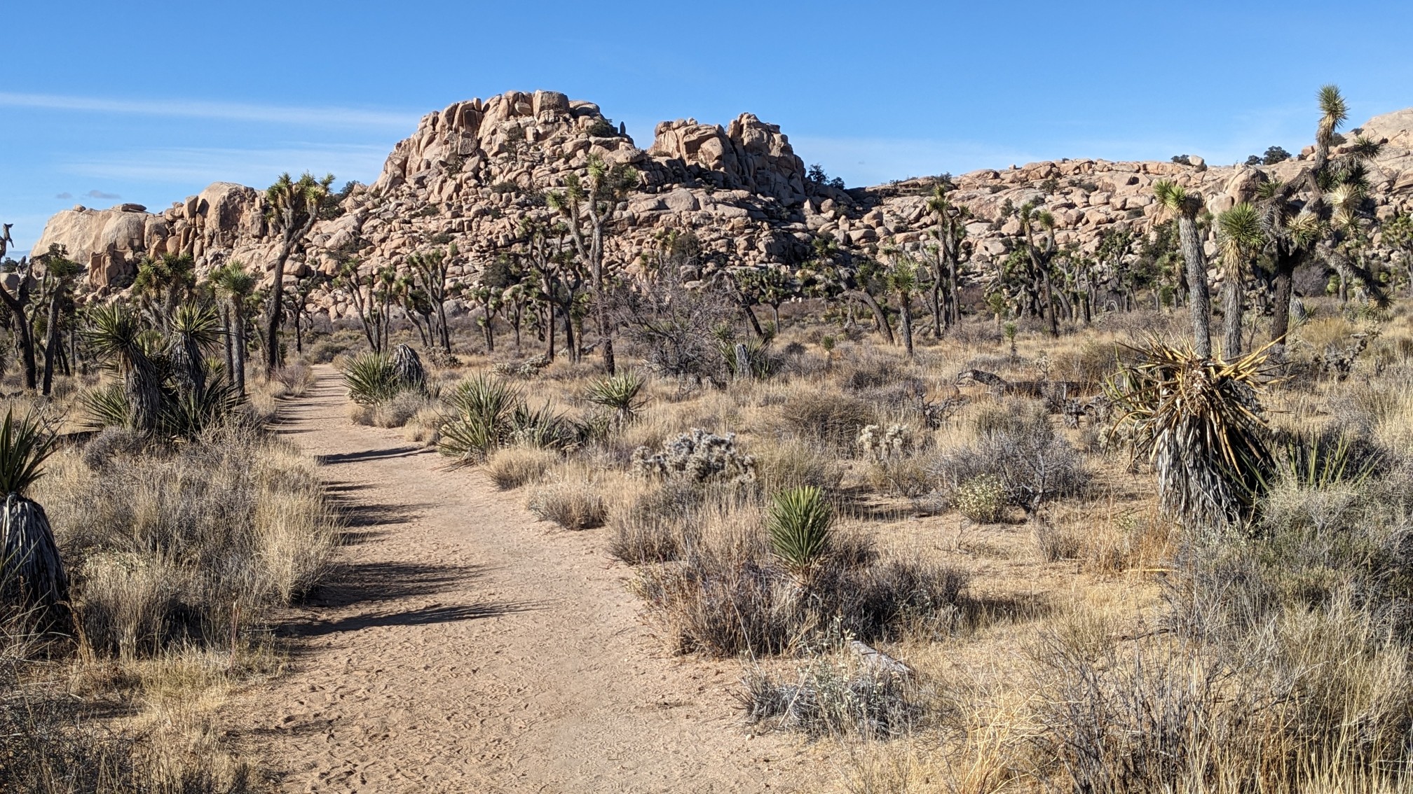
It’s a 10,000ft peak on the PCT, and it was a good reminder of how much westward progress we had achieved! We continued onwards to the area known as Wonderland of Rocks, a popular place for rock climbing.
Near the entrance to the area is an old homestead, which was painted pink!
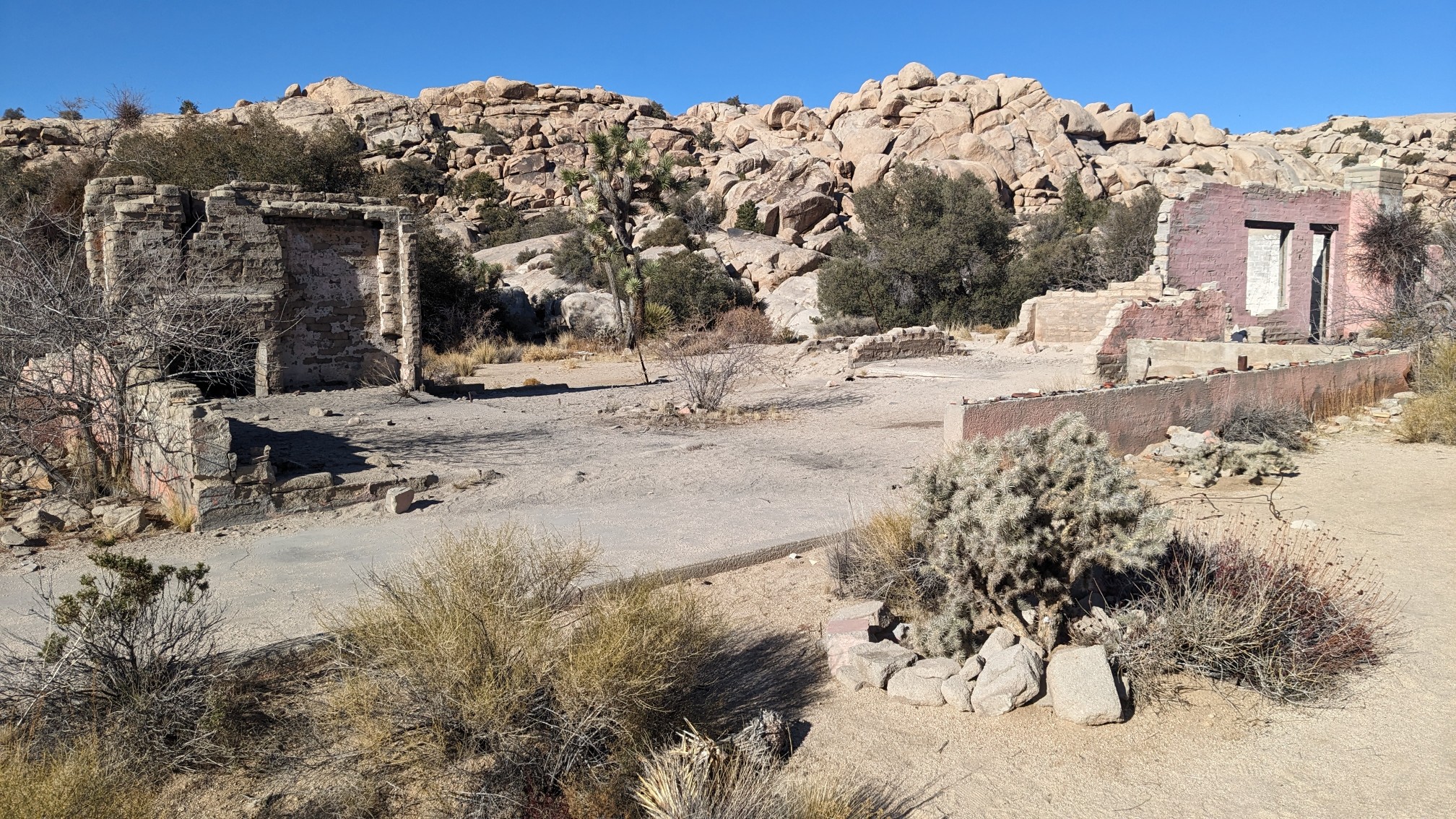
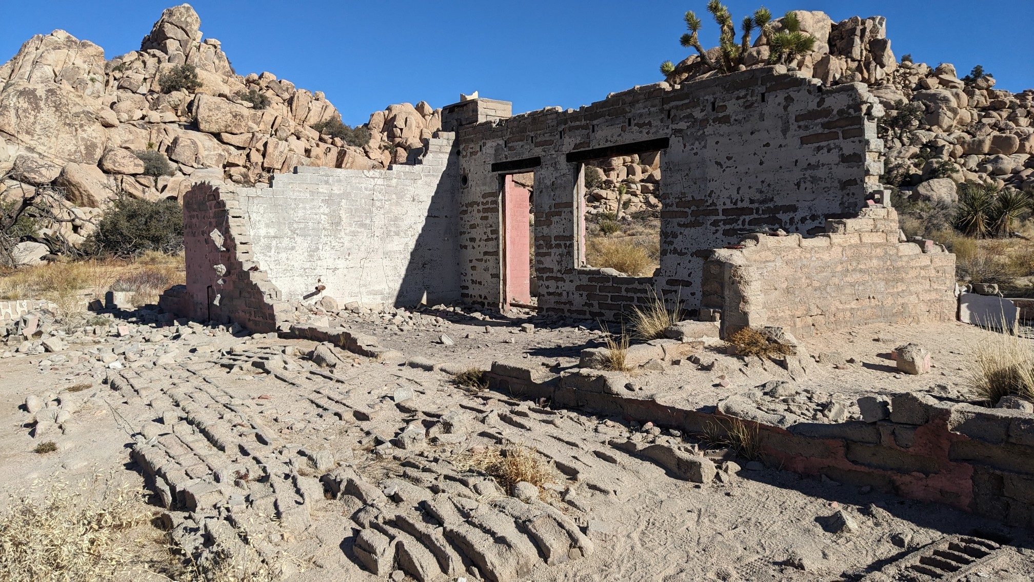
Hiking thru the Wonderland of Rocks area was entertaining, with lots of fun little scrambles and slab walking.
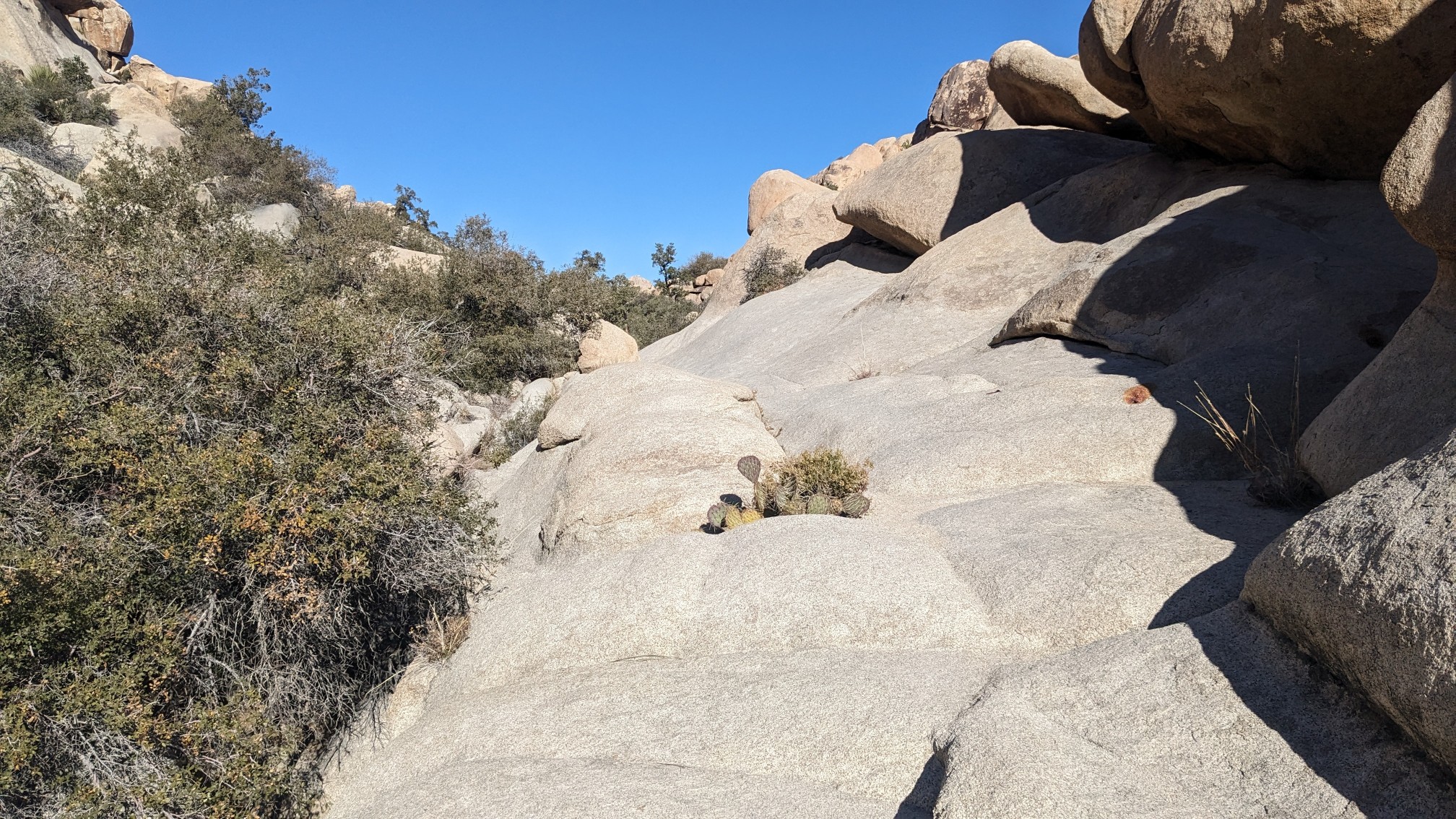
We saw several groups of climbers and hikers, and even talked to one of them. The last time we saw someone hiking on a trail was way back on Day one, in Saguaro National Park! TopShelf led the way thru the rocky maze, usually following climbers’ trails.
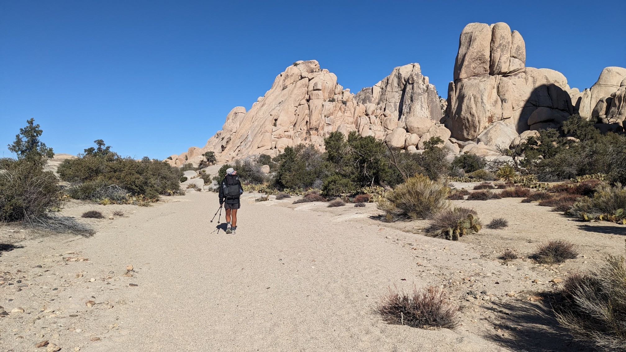
Near the end of the rocky maze, we stopped and had lunch in a wash, as usual. It was our last lunch on trail as we will be finishing tomorrow around noon. It felt a little sad that this was our last trail lunch. After lunch, we had a little bit more walking through the Wonderland of rocks and all of its Joshua Trees.
Soon after, we connected with the Boy scout Trail, which was a veritable highway for hikers.
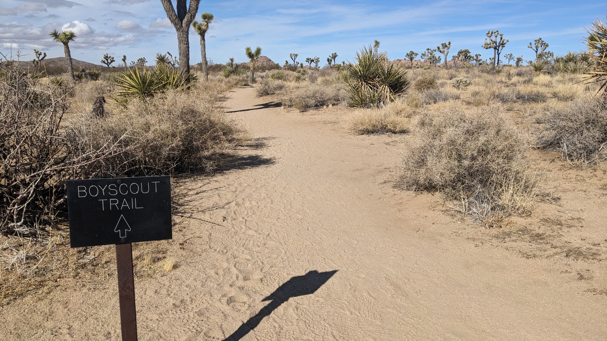
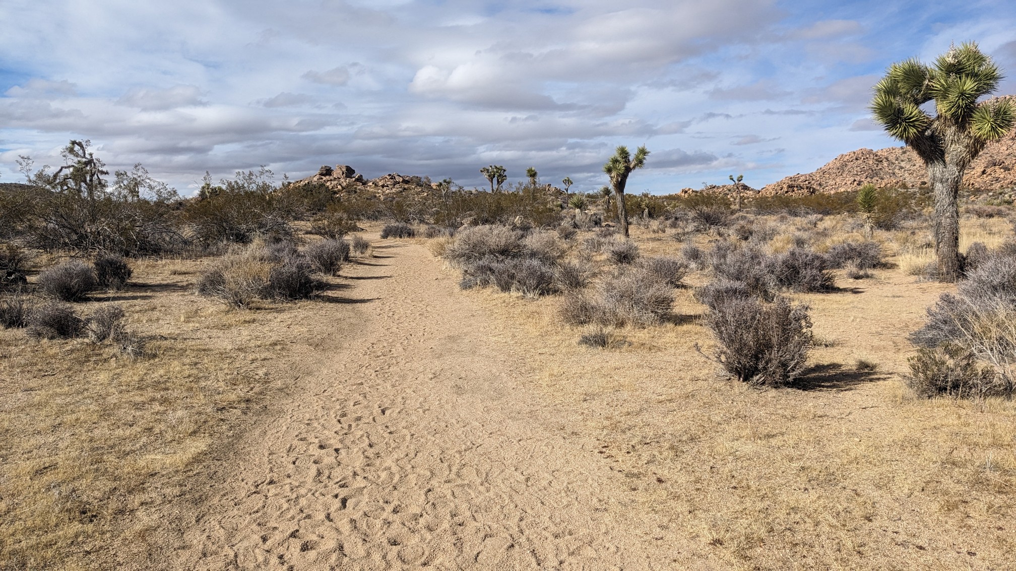
Yep, we cruised for an hour on a wide and flat trail.
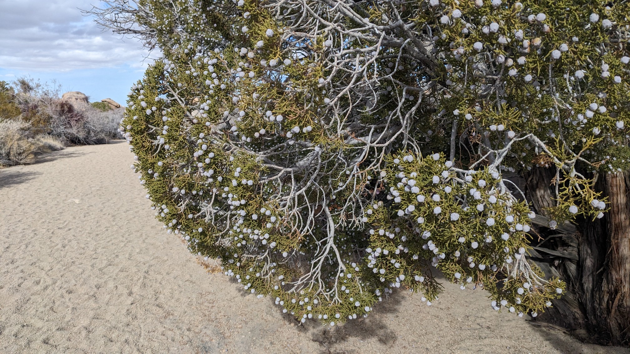
I saw a massive juniper tree that was in full blossom.
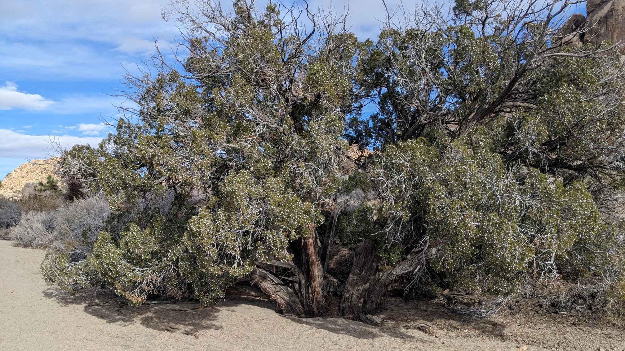
It had so many berries!
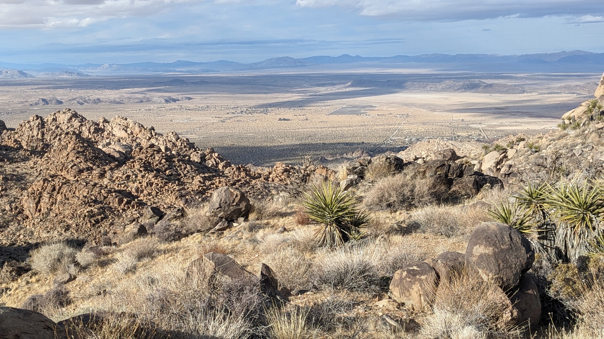
After the Boy scout trail, we turned onto the Big Pine Trail, and then the Northview Trail. As the name would suggest, it had pretty great views to the north, where the towns of Yucca Valley, Joshua Tree, and 29 Palms are.
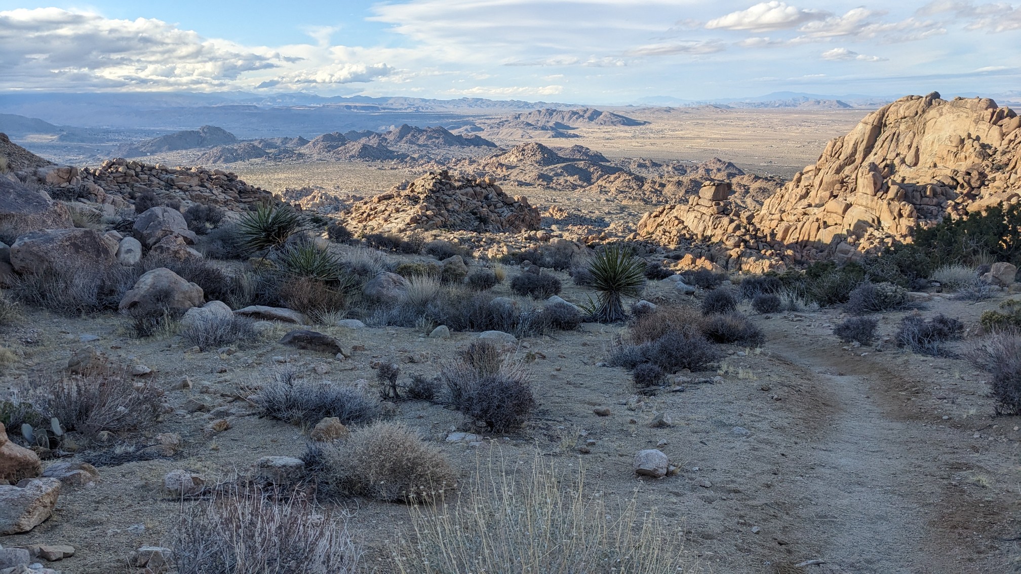
From there, we descended through a very scenic boulder maze.
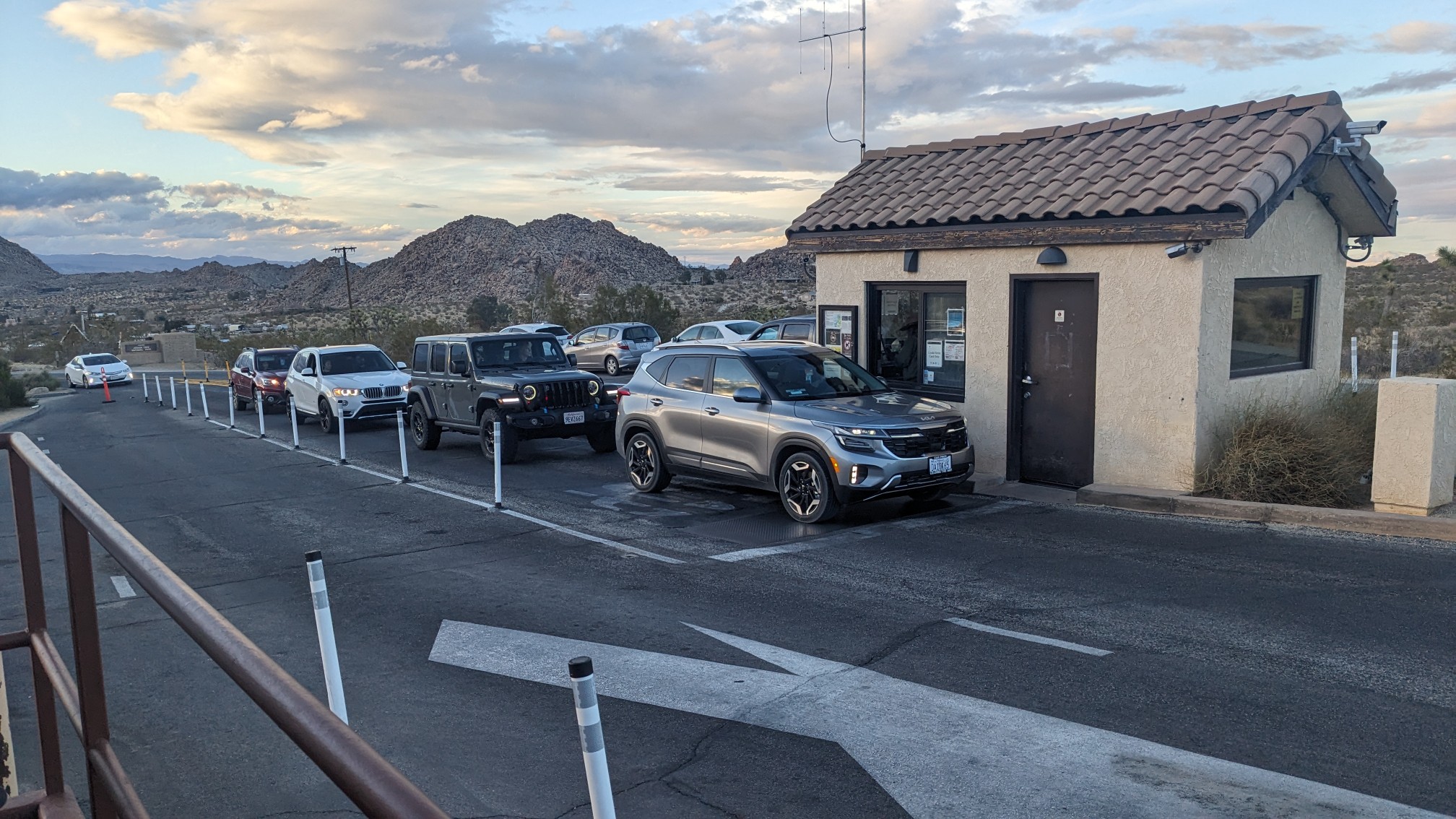
Once we got to the park road, we took a small detour to refill our water bottles. The water bottle filling station is right next to the entrance booth, which was very busy. It was a little jarring to see so many cars and people.
After we returned to the trail from our water mission, we had another two miles of hiking. We joined the Bigfoot Trail, which descended down a wide sandy wash.
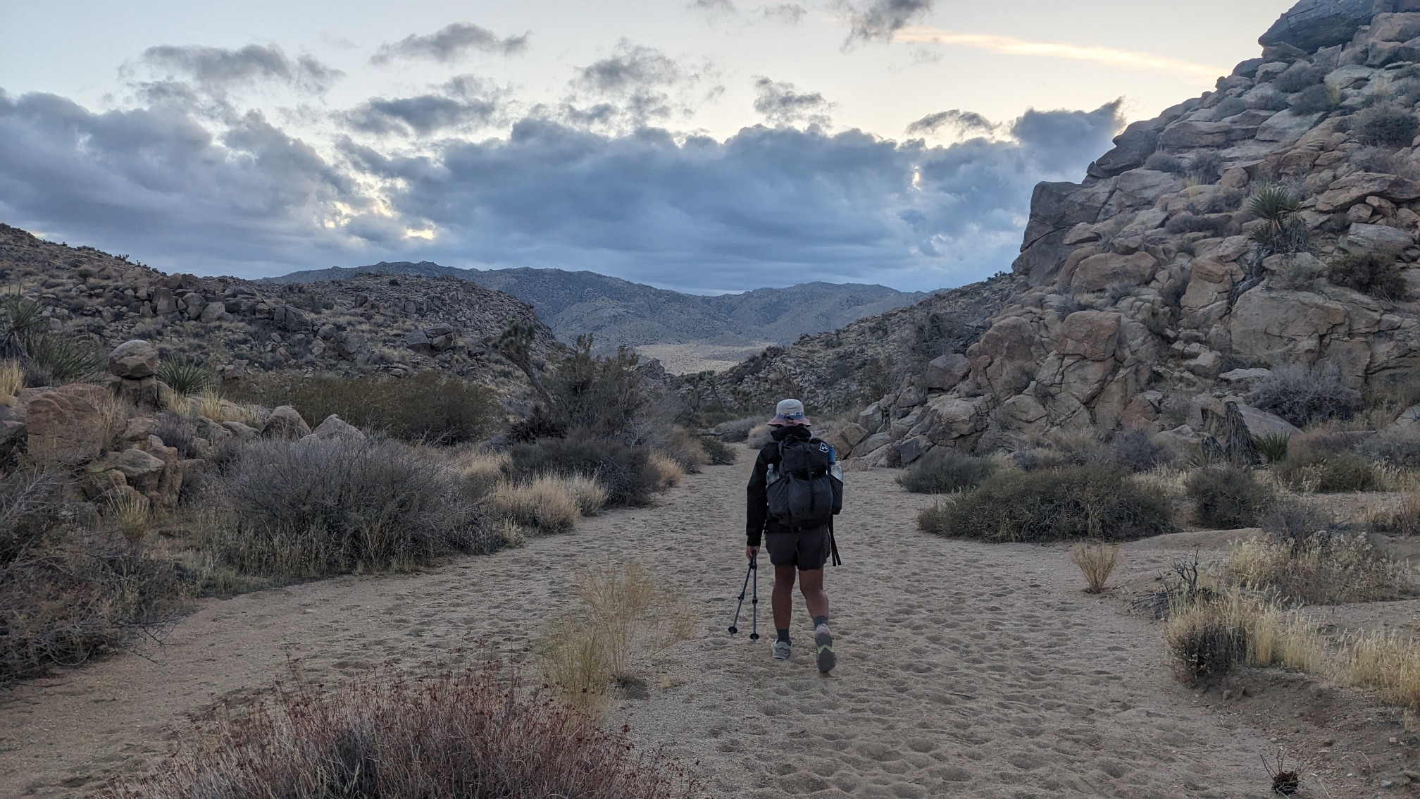
Pretty soon we arrived at Quail Wash, and we hiked a little bit further to find a spot to camp.
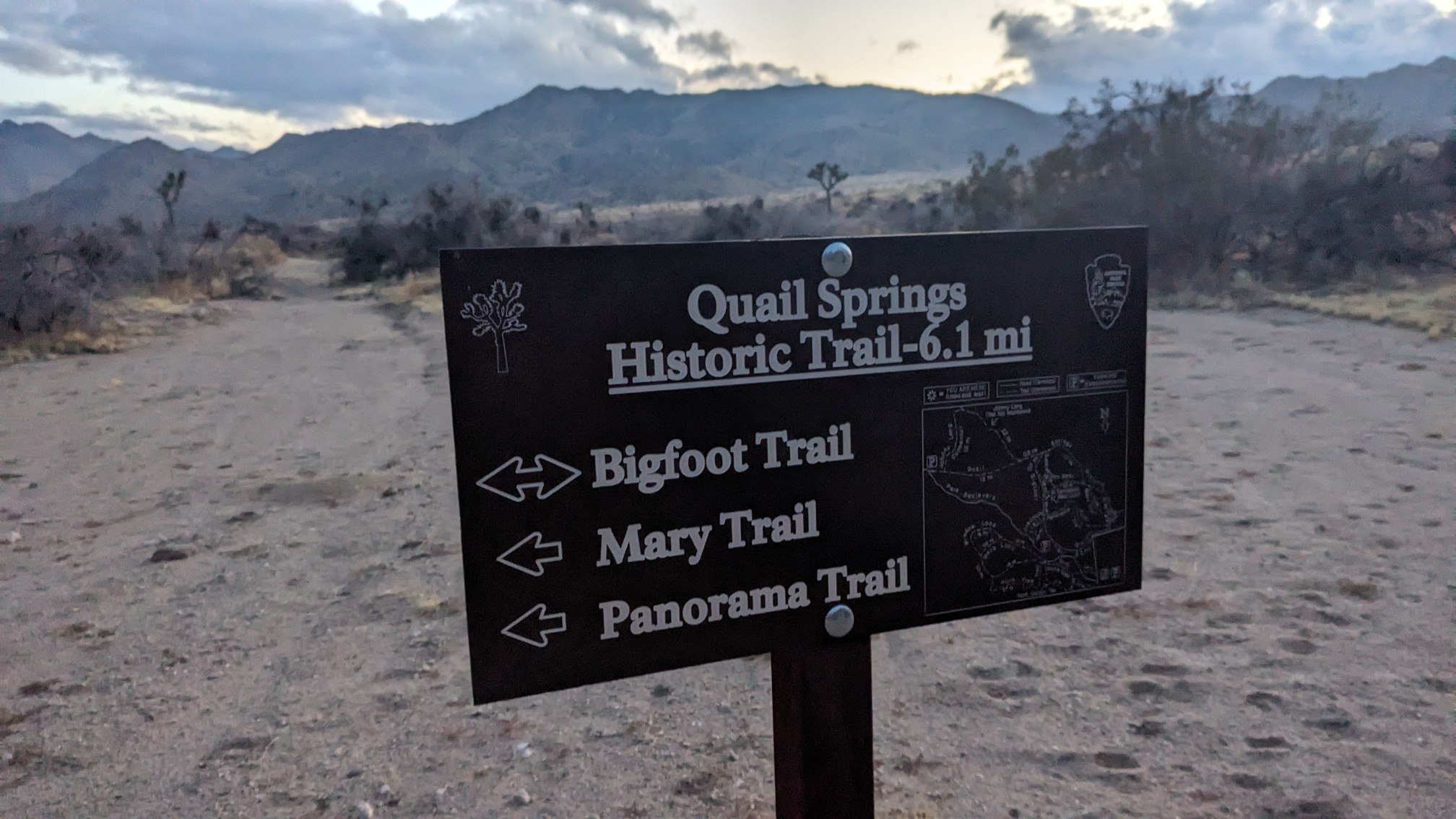
It was a little tricky to find a decent place to camp, because there were a ton of rodent holes in the soil in this area. Eventually we found a suitable place, and put up our tents one last time. Tomorrow afternoon we will arrive in the town of Yucca Valley and the finish!
Between all your sunrises and sunsets there’s a tremendous amount of nature to see along your trails. Congratulations on finishing your journey! You & Top Shelf should be very proud of your accomplishment! 🙂