Sunday May 12, 22.1mi/35.6km
Highline Trail at Geronimo Trail Jct (146.7/5640ft) to Road FR144 (166.0/6580ft) (Arizona) +2.8 gps correction
I had a good night of sleep camped under my juniper trees. As usual the sun was up at 5:30 and I was hiking just after 6am. I hiked on the Highland Trail all day today.
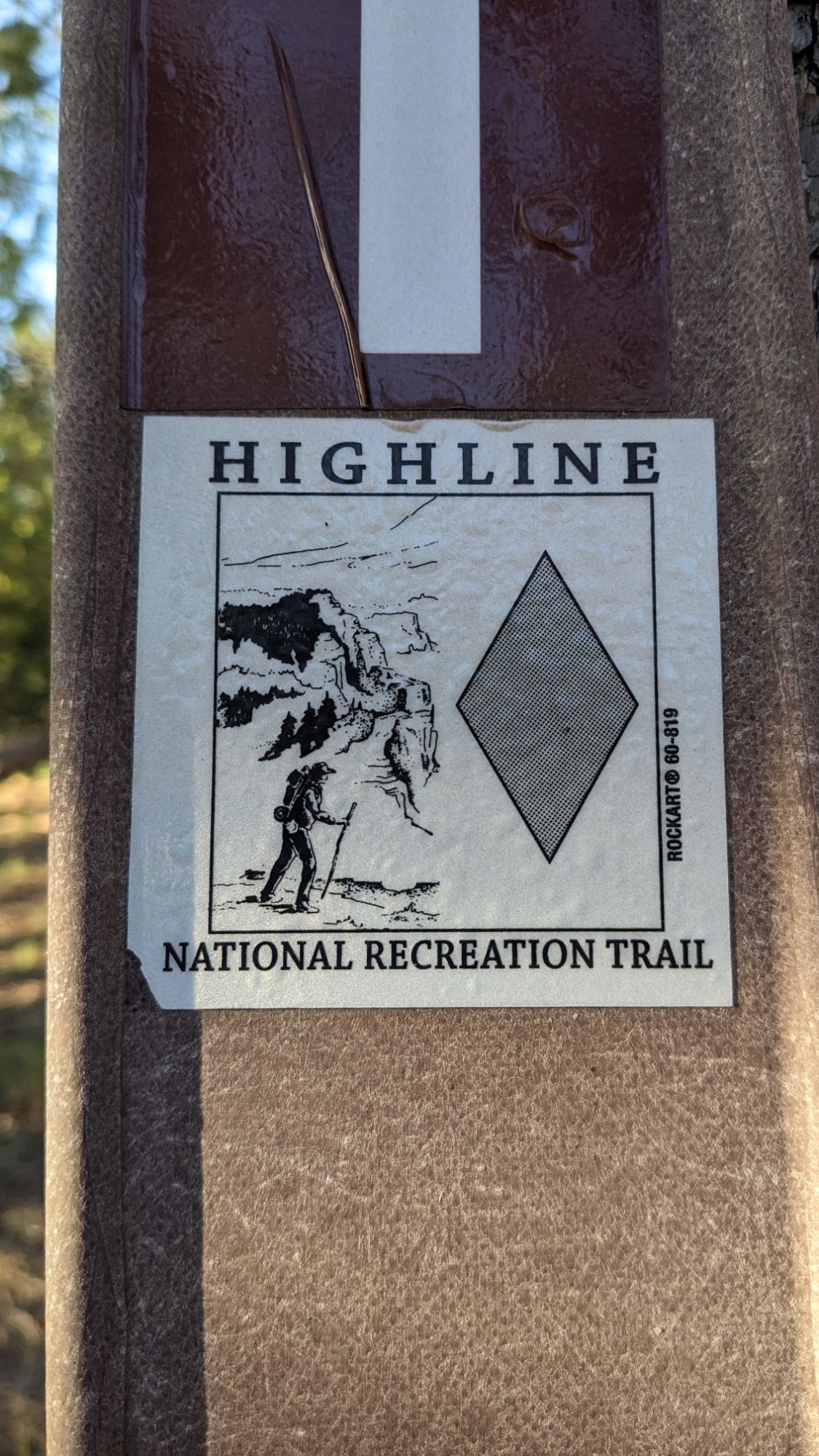
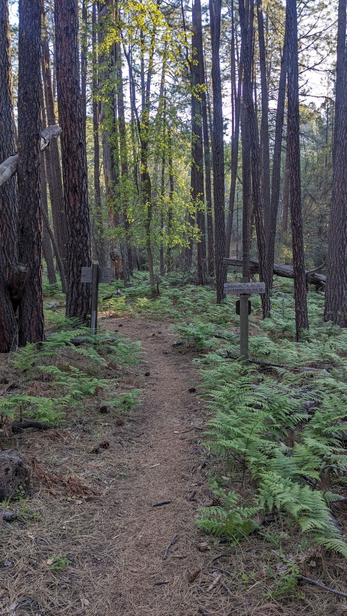
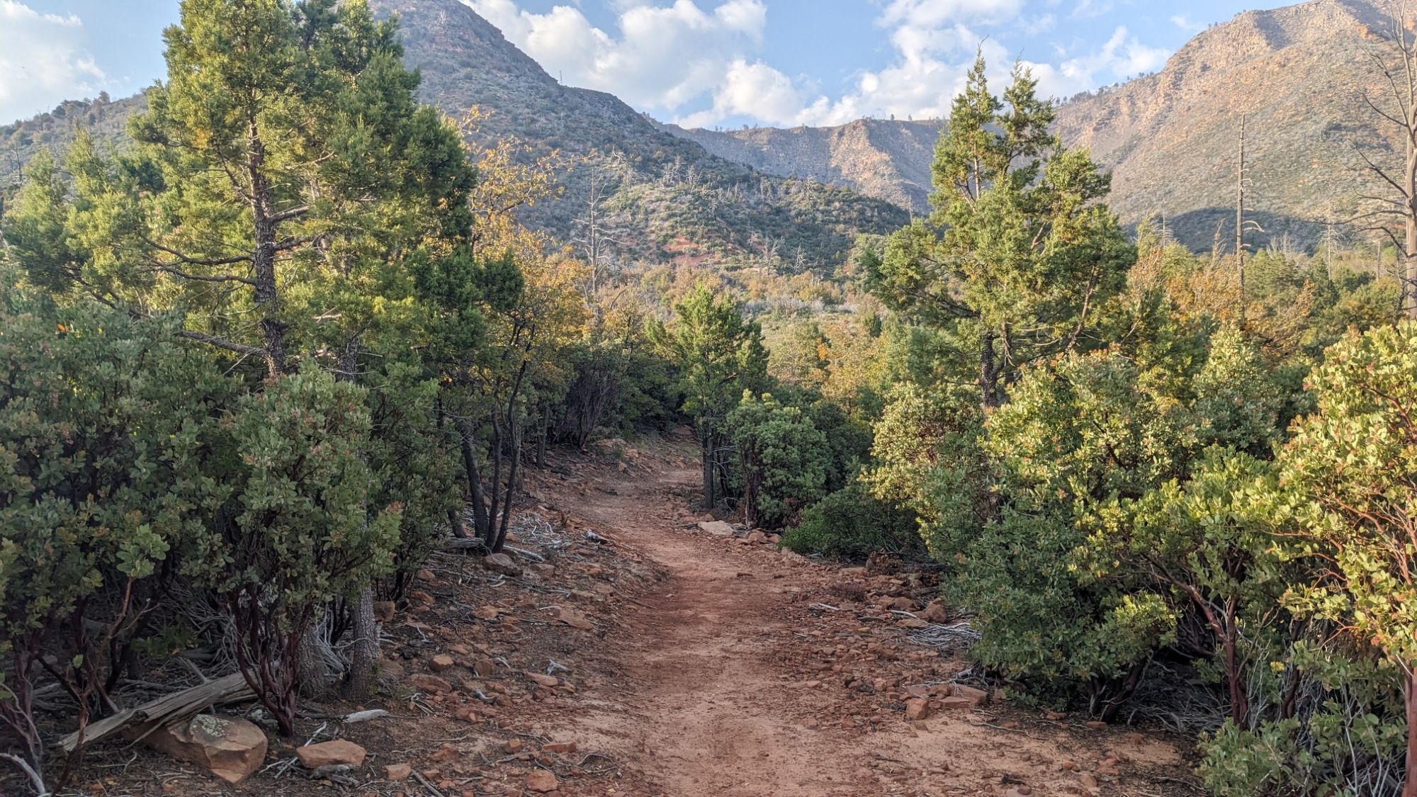
It’s a national recreation trail that spans for like 60 miles just below the Mogollon Rim. Sometimes I would hike through a little lush green forest…
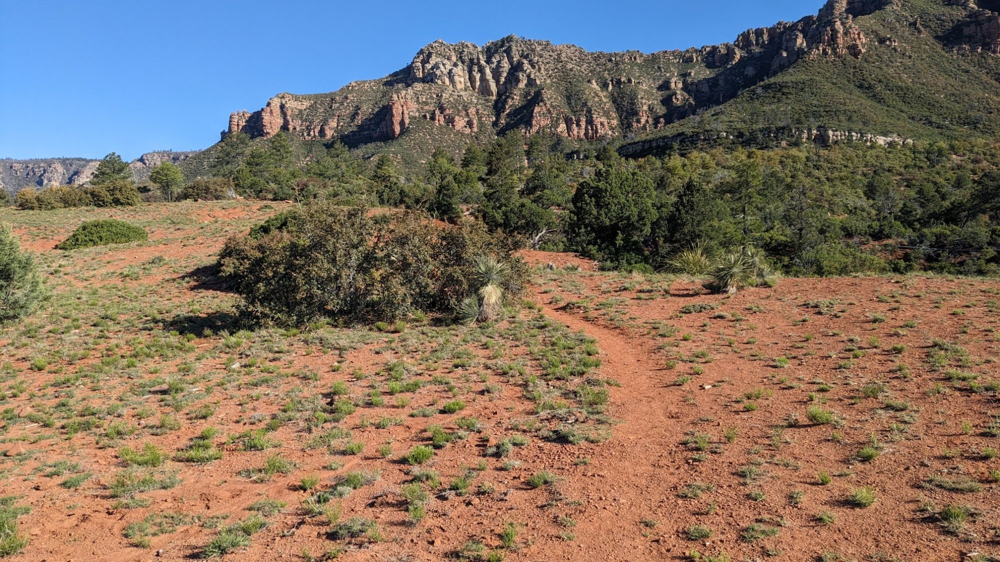
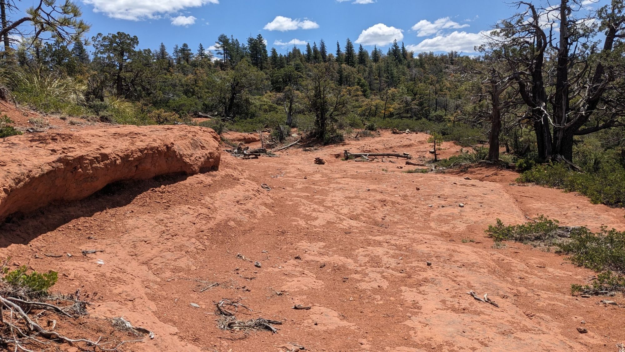
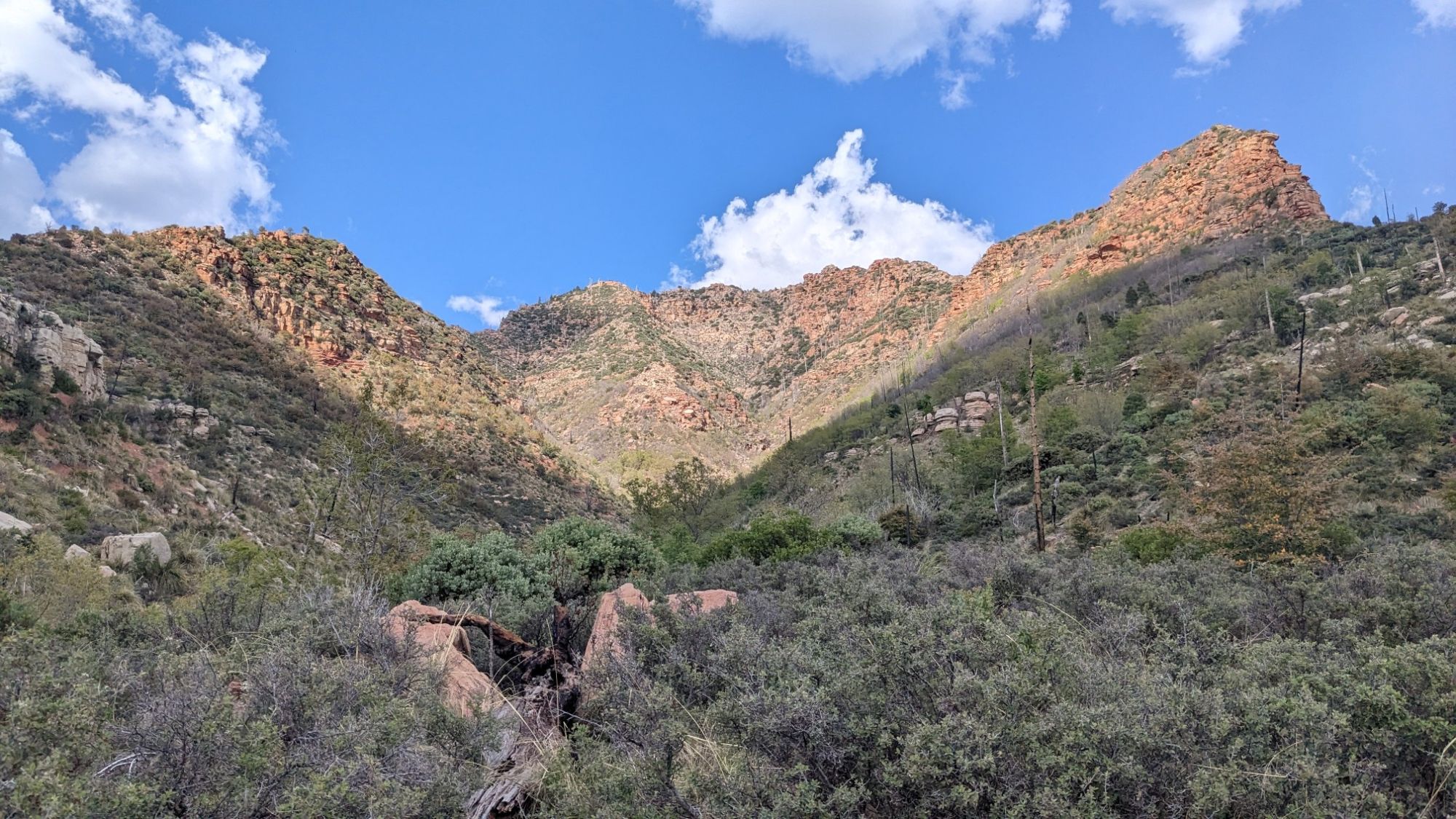
And then it would open up to big vistas with red sandy soil.
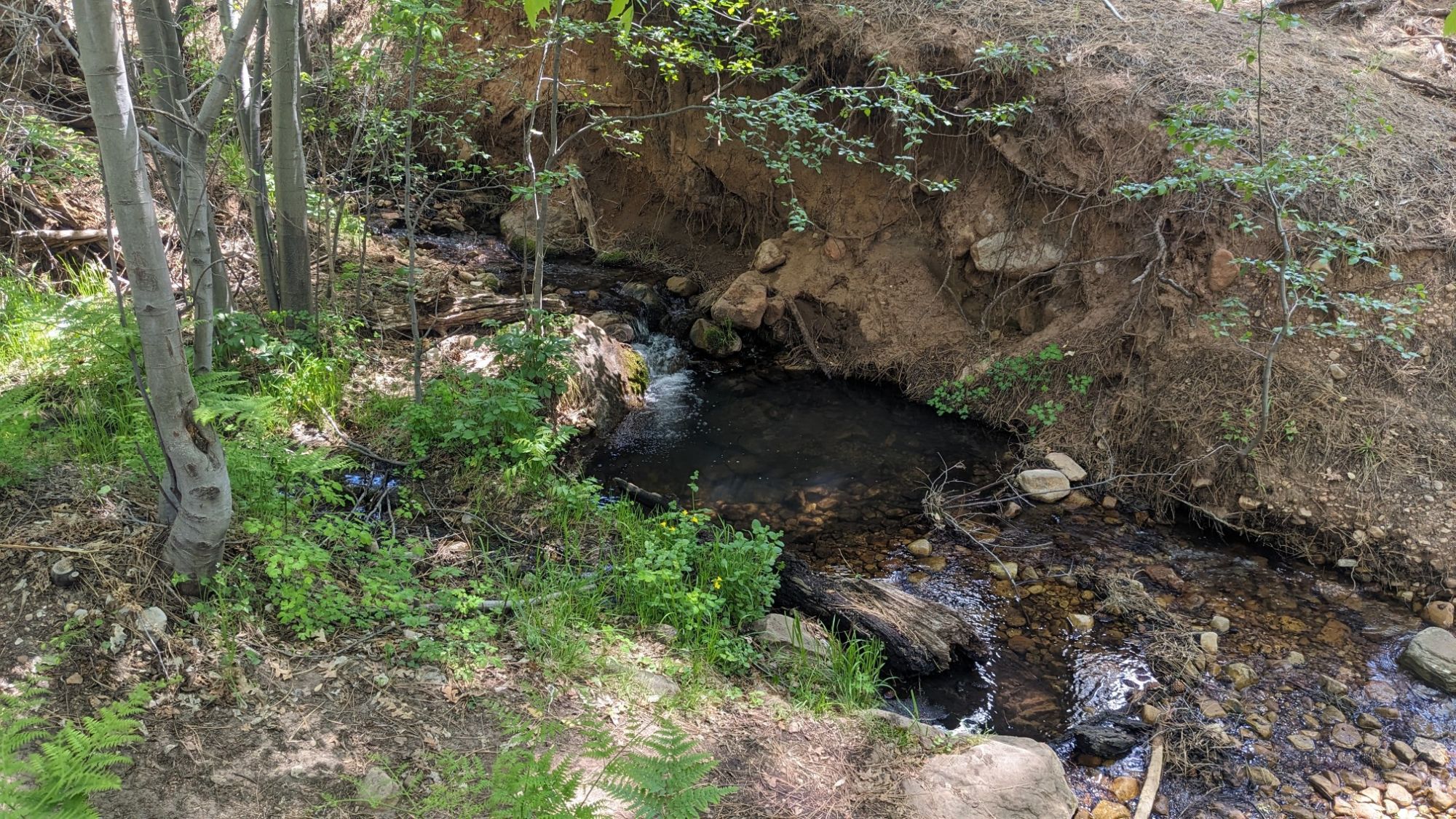
And there were so many water sources today! Every little creek coming off of the rim crossed the path, so I saw water about once an hour.
I never carried more than a liter of water today and sometimes I carried no water at all, it was great. My favorite part was when the trail would cross these big slickrock benches.
I stopped for lunch next to a creek and a dirt forestry road, and then shortly after lunch, the Arizona Trail split off from the Highline trail.
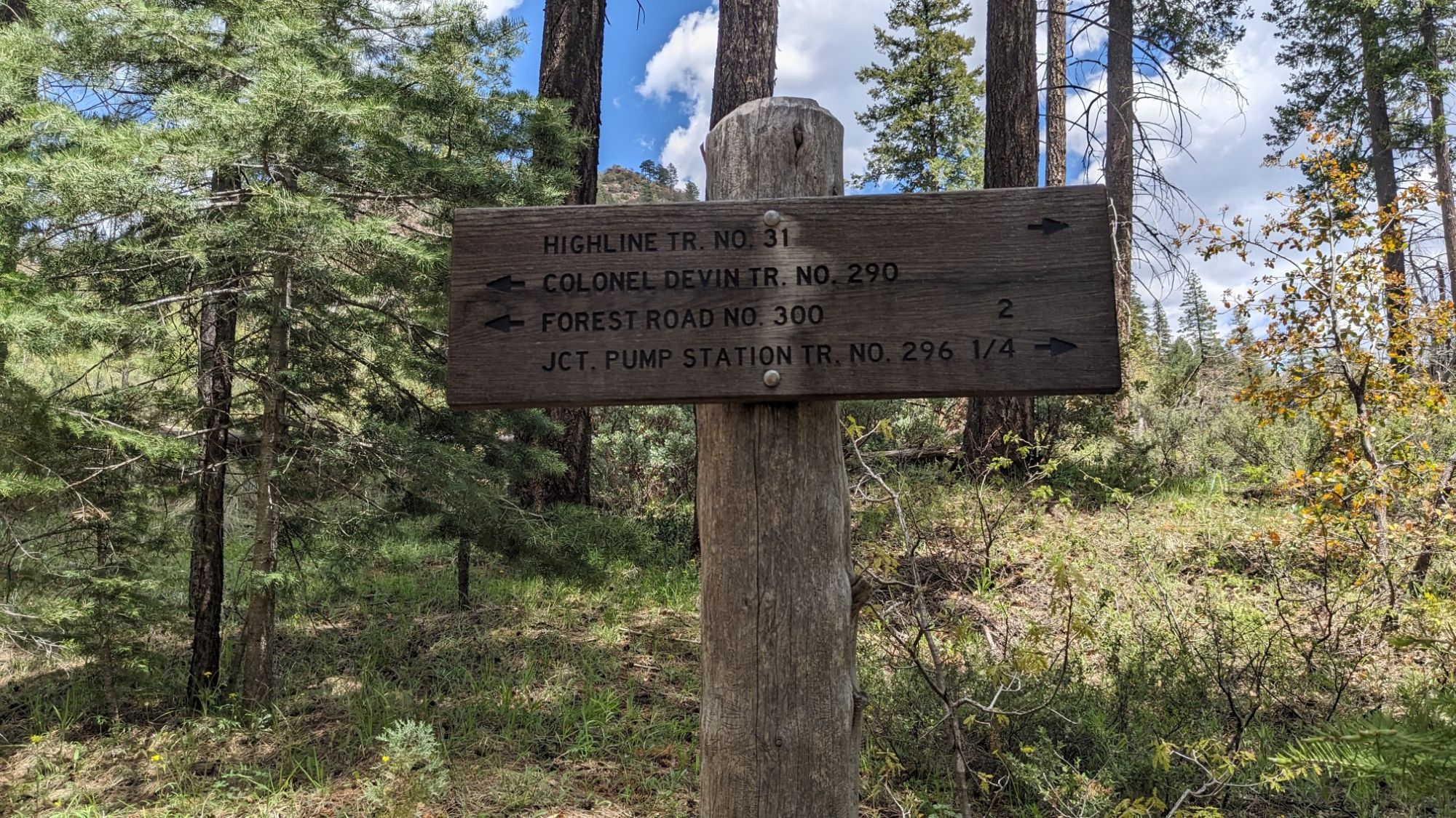
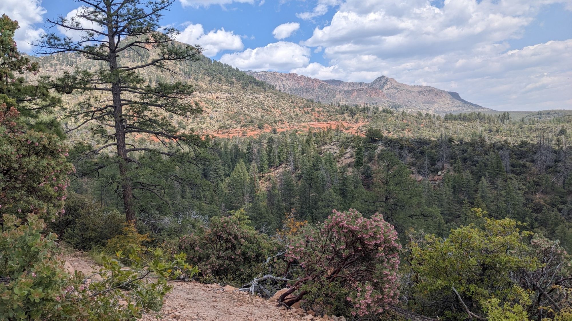
I thought I would see at least one AZT hiker, but I think they have all come through here a couple weeks ago. In fact I only saw two people (and their dog) all day, near the Washington Park trailhead. My mind wandered all afternoon, interrupted by various amazing vistas.
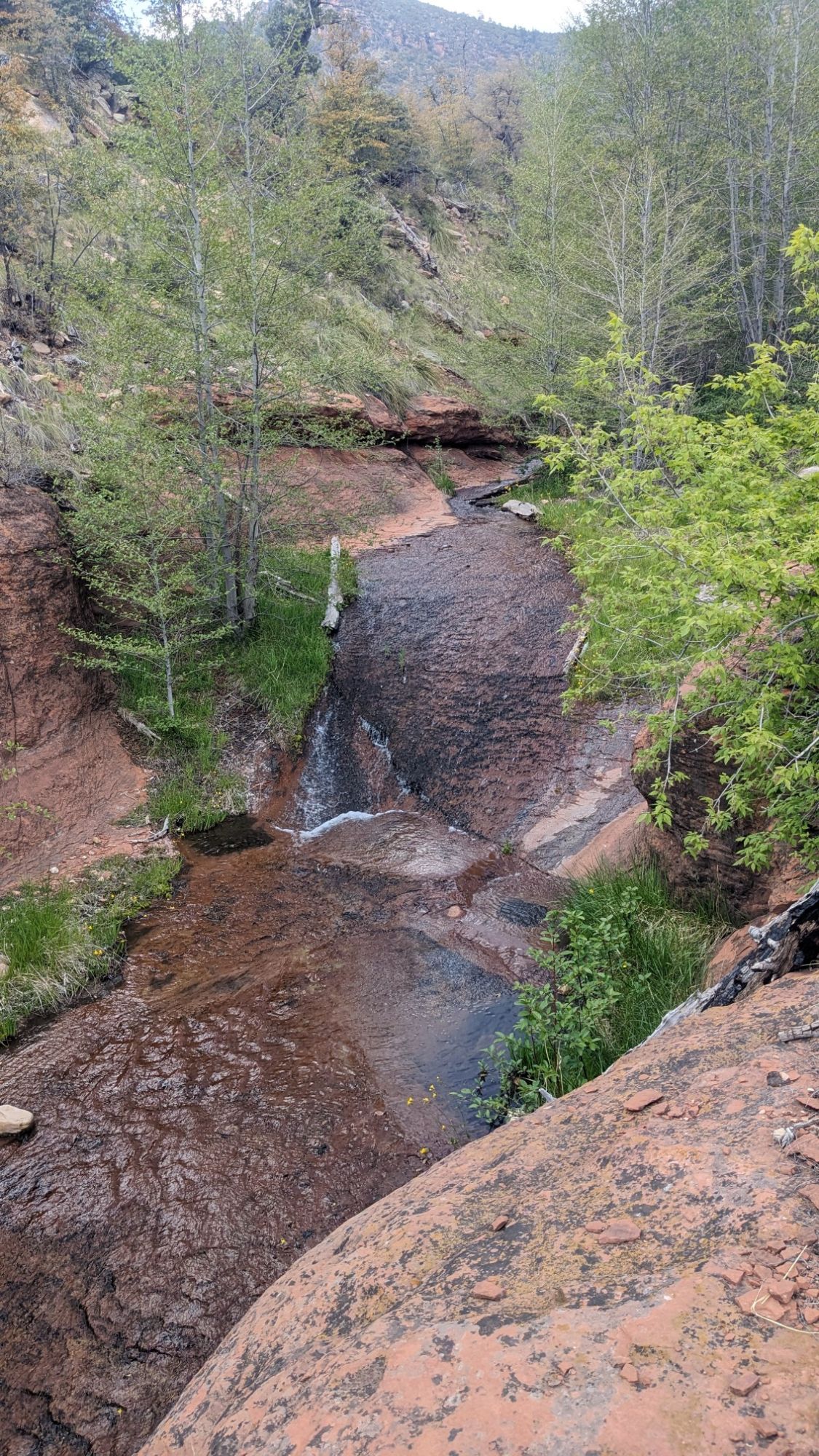
One of the creeks looked like a little water slide, which was pretty neat.
A bunch of little puffy clouds arrived in the afternoon, and started making interesting shadows on the rim.
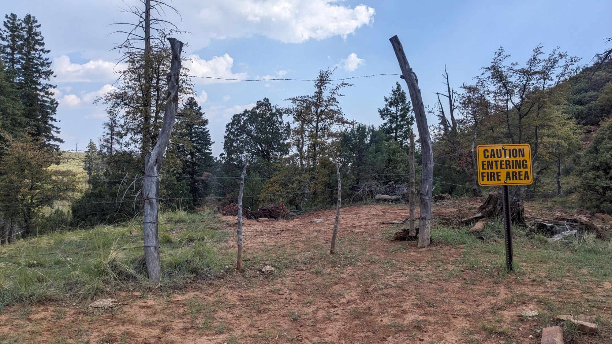
This gate was strange, it had a sign that said “fire” when clearly there hadn’t been fire here in many years. Maybe the sign should have said “burned area” instead.
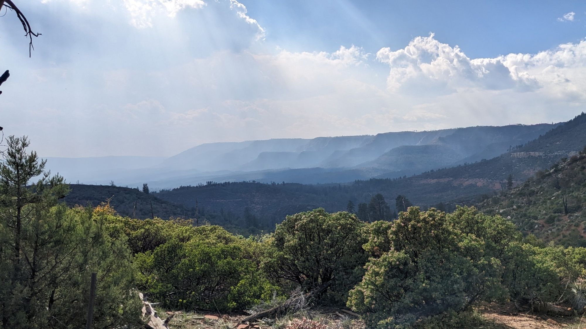
Way off in the distance behind me, I could see the smoke from the Wolf fire creeping down into the valley from the rim.
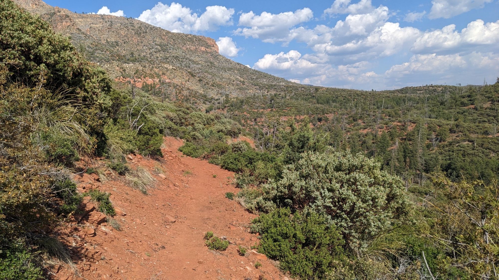
Mostly just pleasant walking all afternoon.
At the end of the day I found myself in the middle of a burn area from 1990. Though it had mostly recovered, it was still difficult to find good camping amongst the charred logs and ashy soils. As I was searching the landscape, I did come across this weird looking water catchment system.
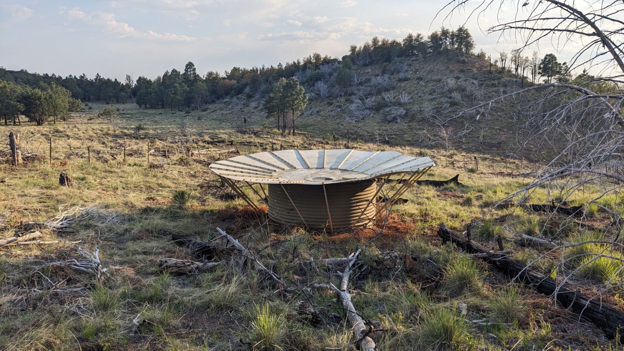
I didn’t even need water, but it made a fun puzzle to figure out how the thing worked. With the puzzle solved I went back to finding a camping spot, and I located a spot underneath some pines a few hundred meters away. Today felt unusually tiring, given how easy and flat the trail was, and then I looked at my GPS and realized that the map was off by almost 3 miles. I had actually hiked 22 miles, even though the map said it was only 19. I think the Highline Trail had been upgraded over the years, with many switchbacks added. Hopefully tomorrow the trail map is a little more accurate to reality.
Amazing views!