Monday May 20, 22.5mi/36.2km
Timber Mesa Trail (293.3/6950ft) to Pierce Spring (315.8/8120ft) (Arizona)
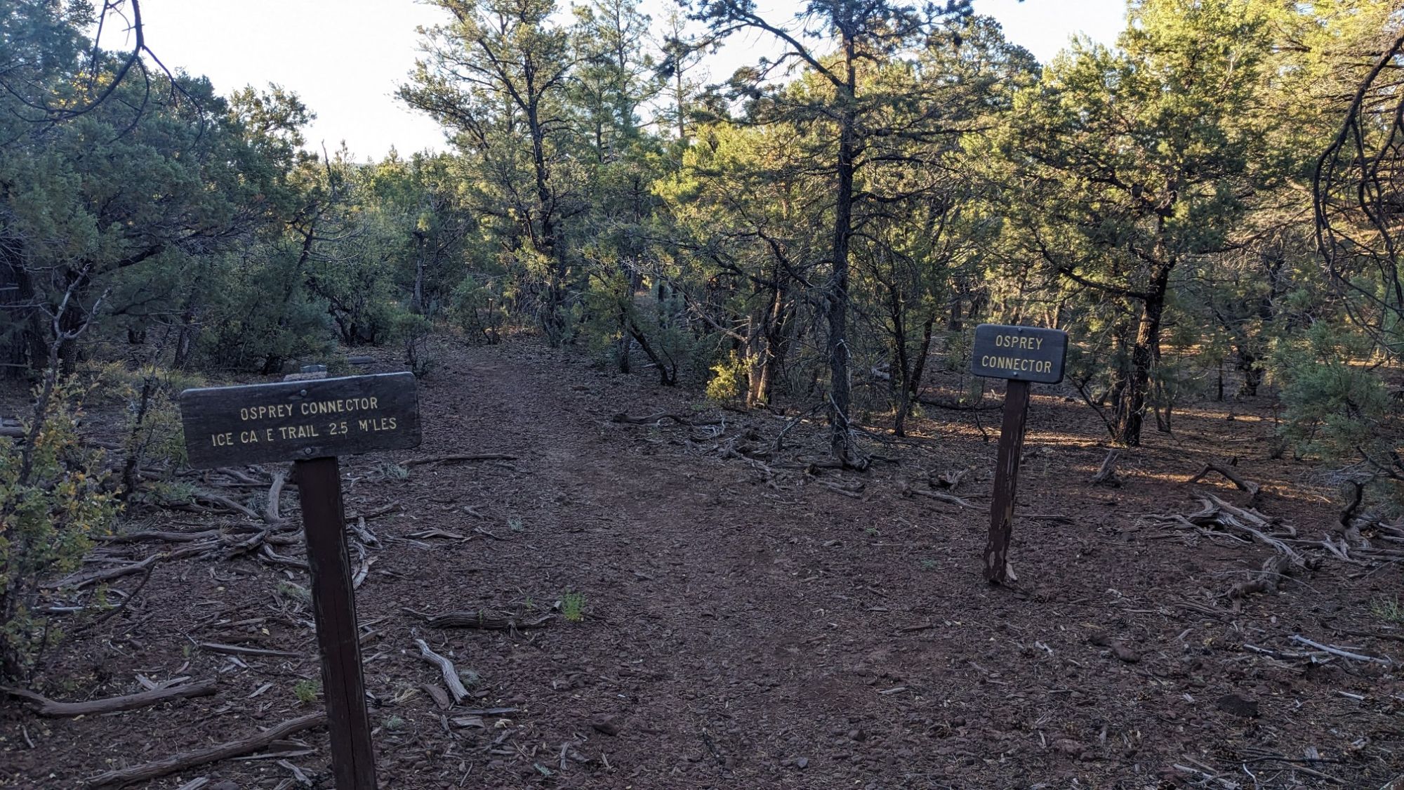
It was a nice warm night, perfect for sleeping, and as usual I woke up when the sun hit my tent at 5:30. I hiked all day on various trails in the White Mountains trail network, The first one was the Osprey connector trail.
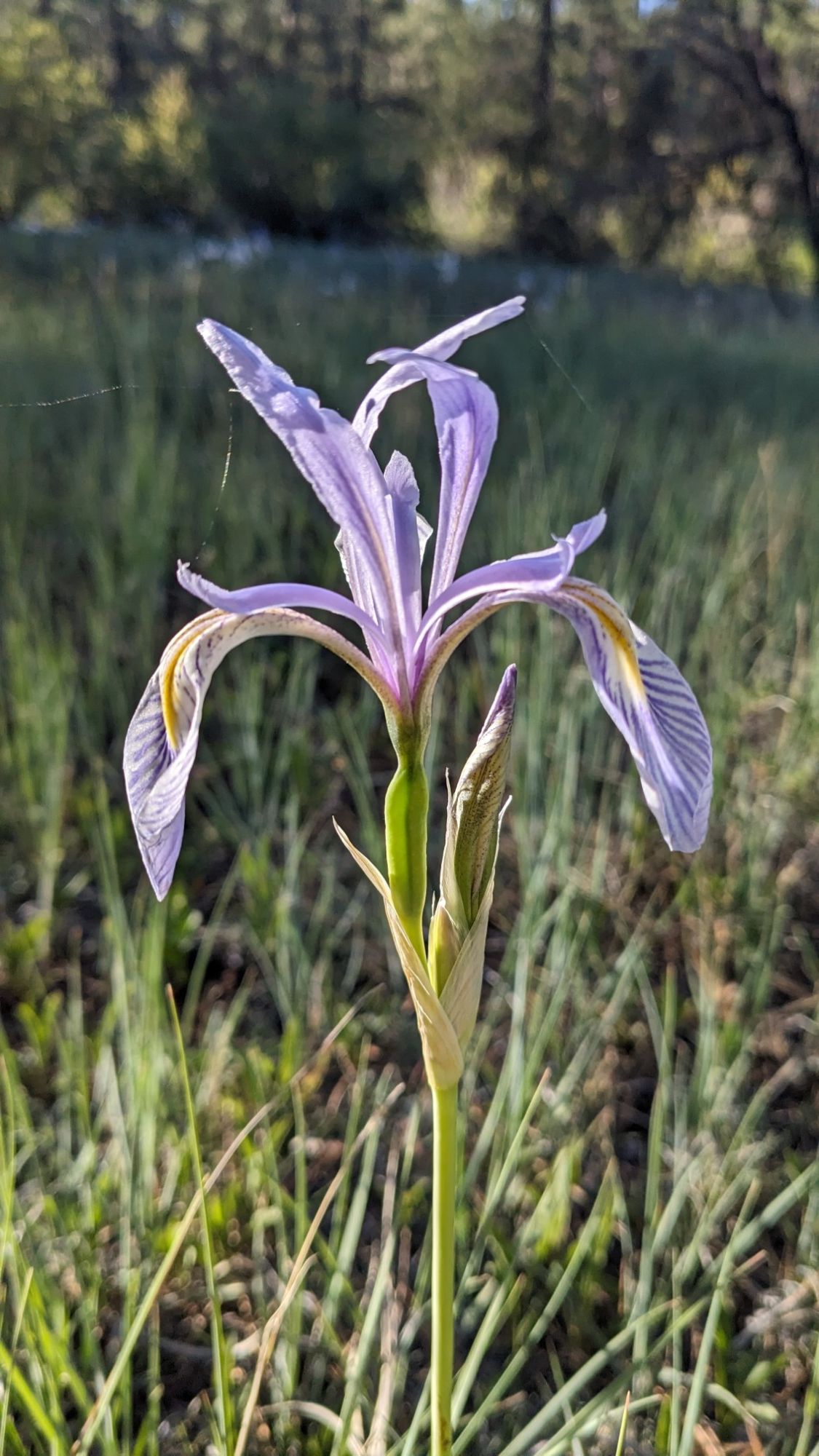
I dropped down off the mesa into a little meadow and these irises were everywhere.
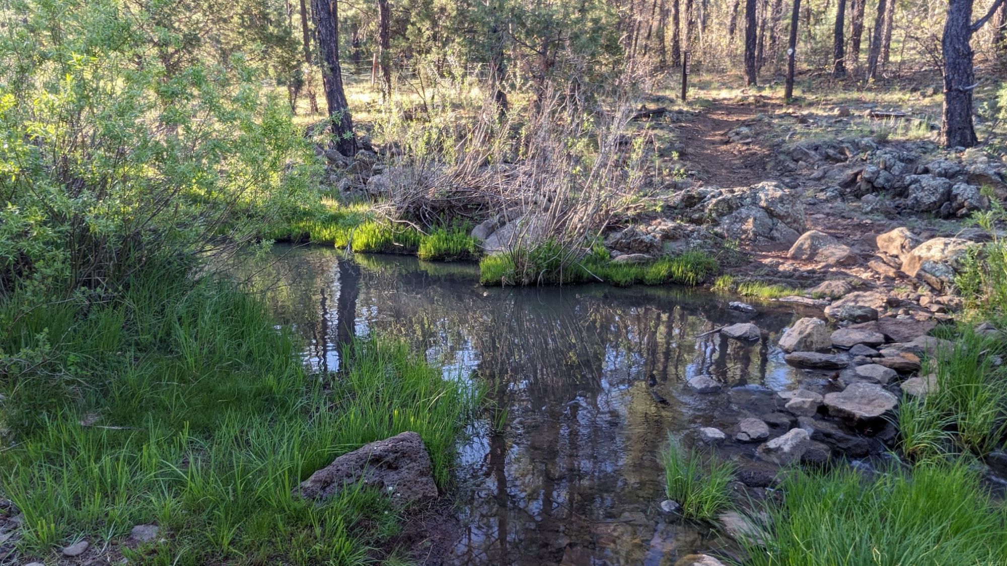
I crossed a little stream, which is the first one I had seen on the trail in a long time. It looked like a good clear water source but I didn’t need water.
A mile later I came to a little geological oddity called Ice Cave. This whole area has volcanic geology, and this is a little lava tube that goes beneath the surface.
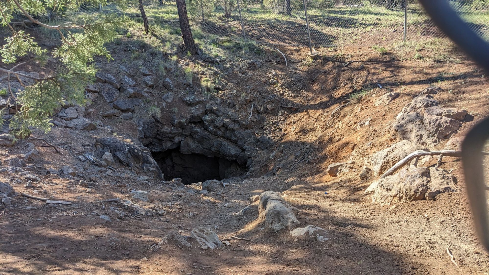
I couldn’t really explore it because it was blocked off by a fence, but it was interesting to look at and feel the cold air coming out of the cave. I had some uphill hiking for the next hour to the top of Blue Ridge Mountain.
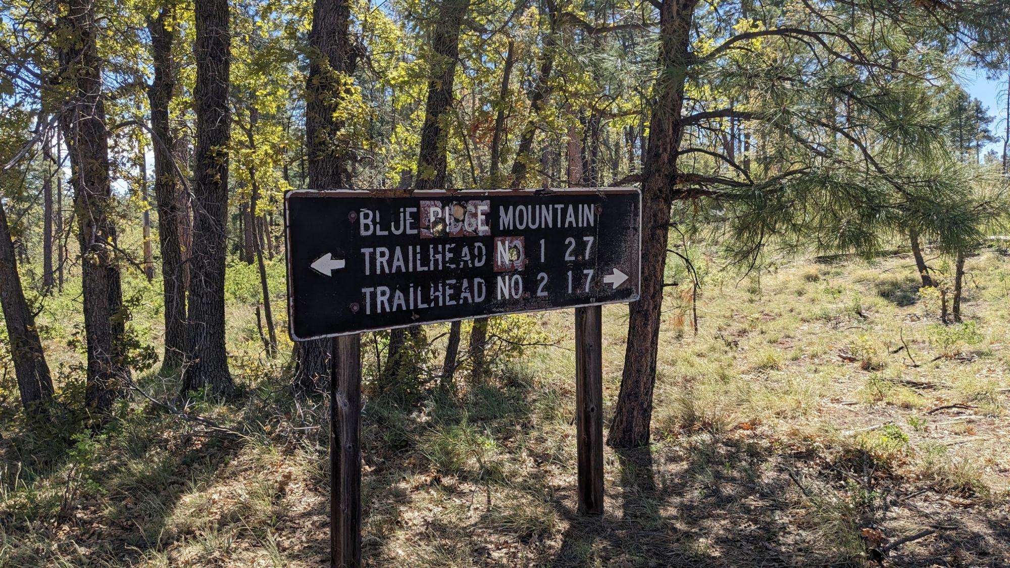
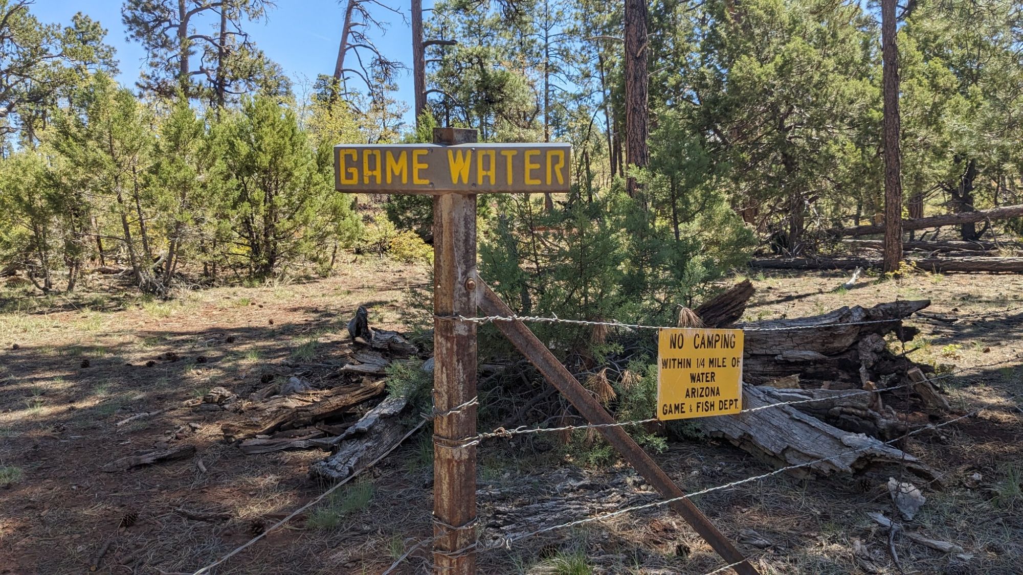
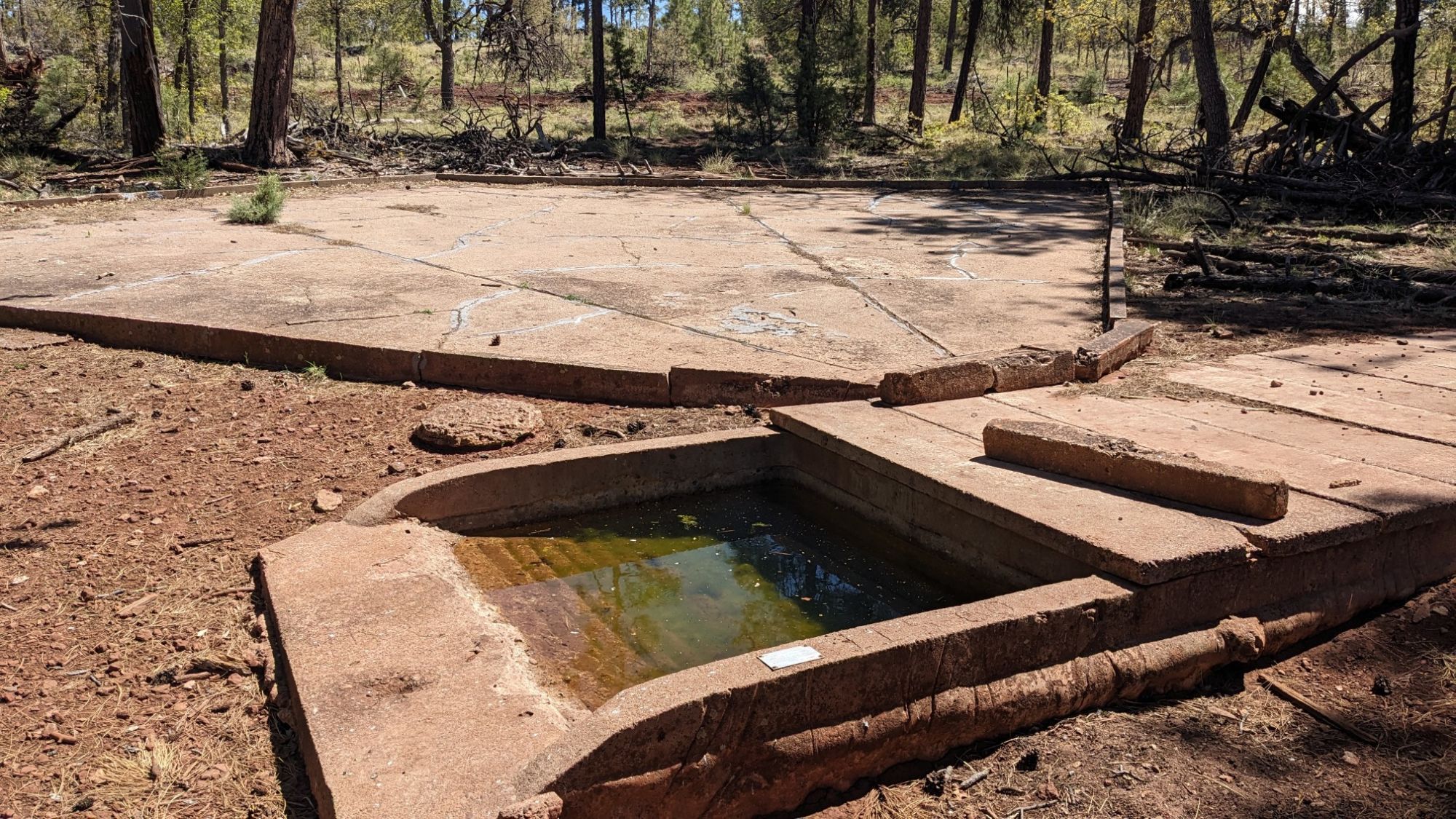
While I was at the top I had a phone signal and made arrangements for my food box to be mailed to the last trail town in Blue, AZ. The top of the mountain also had a water guzzler so I visited that and refilled my bottle.
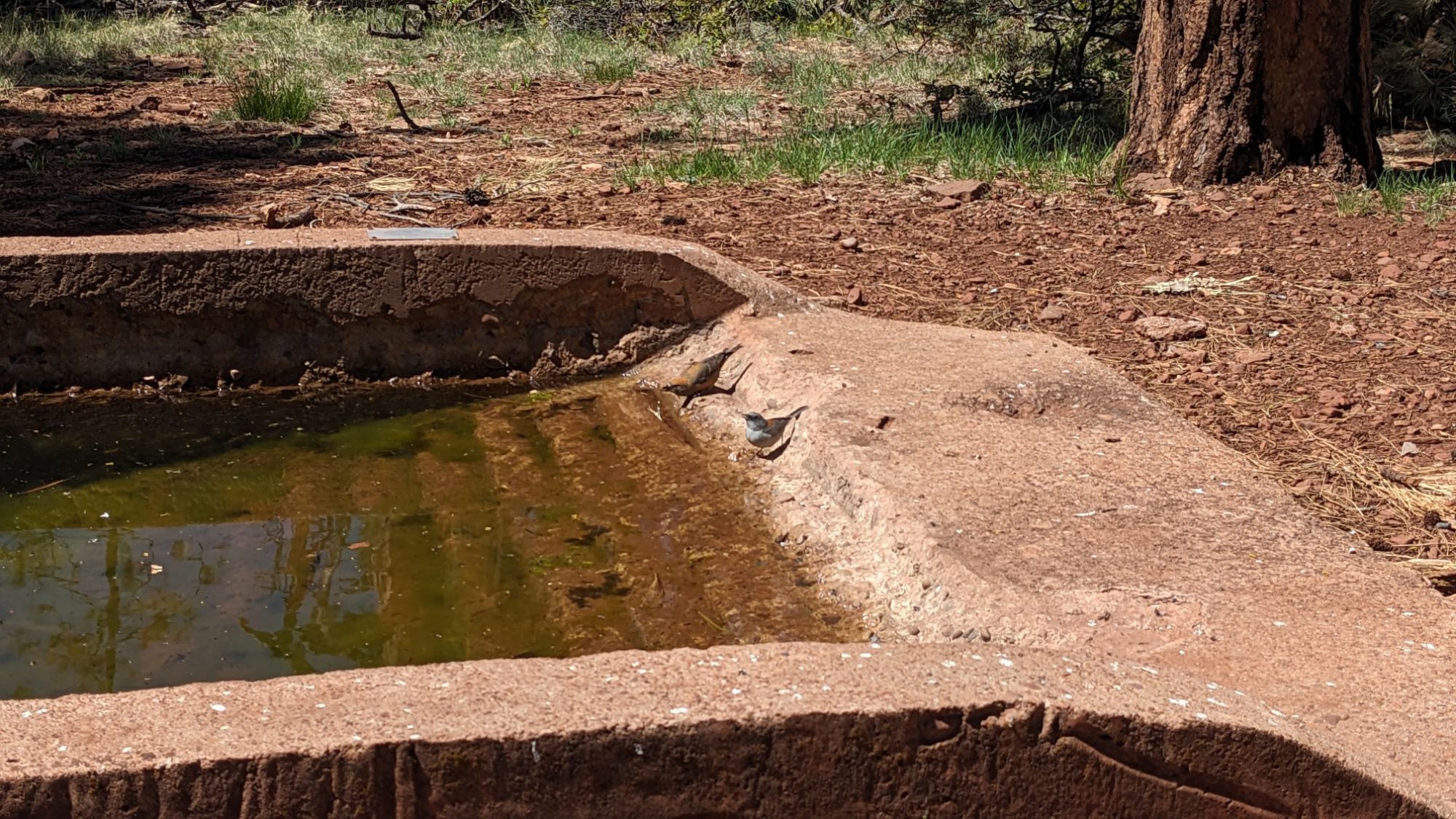
While I was sitting there recharging my phone battery with the solar panel, I noticed these two birds kept coming over to the guzzler and getting a drink.
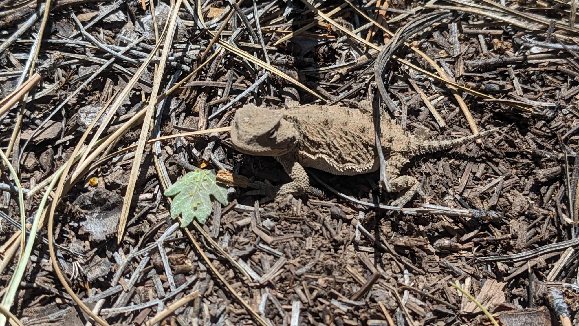
On the hike down the mountain it was starting to get warmer and I noticed all these little lizards were scurrying across the trail. This one actually stayed still long enough to get a photo.
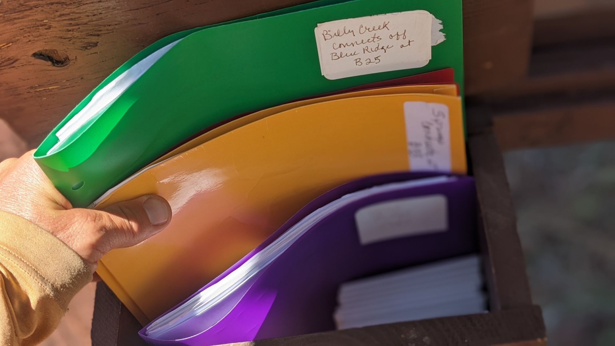
I came to a trailhead where a guy was doing some trail maintenance. He said he was with Tracks, which is a local volunteer hiking group. I also noticed at each trailhead they had provided a lot of information with different colored binders for each of the trails, and also some waterproof maps.
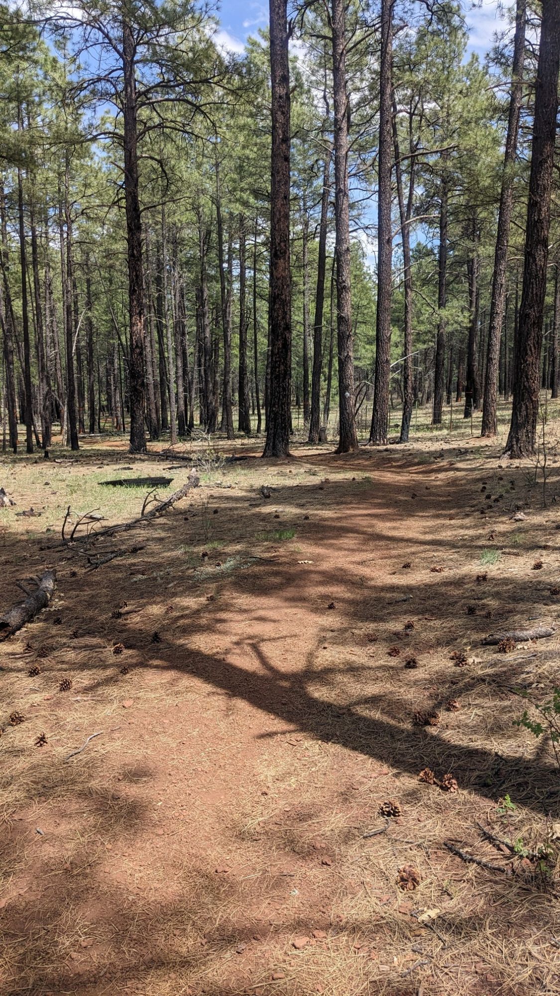
Despite how windy it had become, it was still a really nice sunny day for hiking.
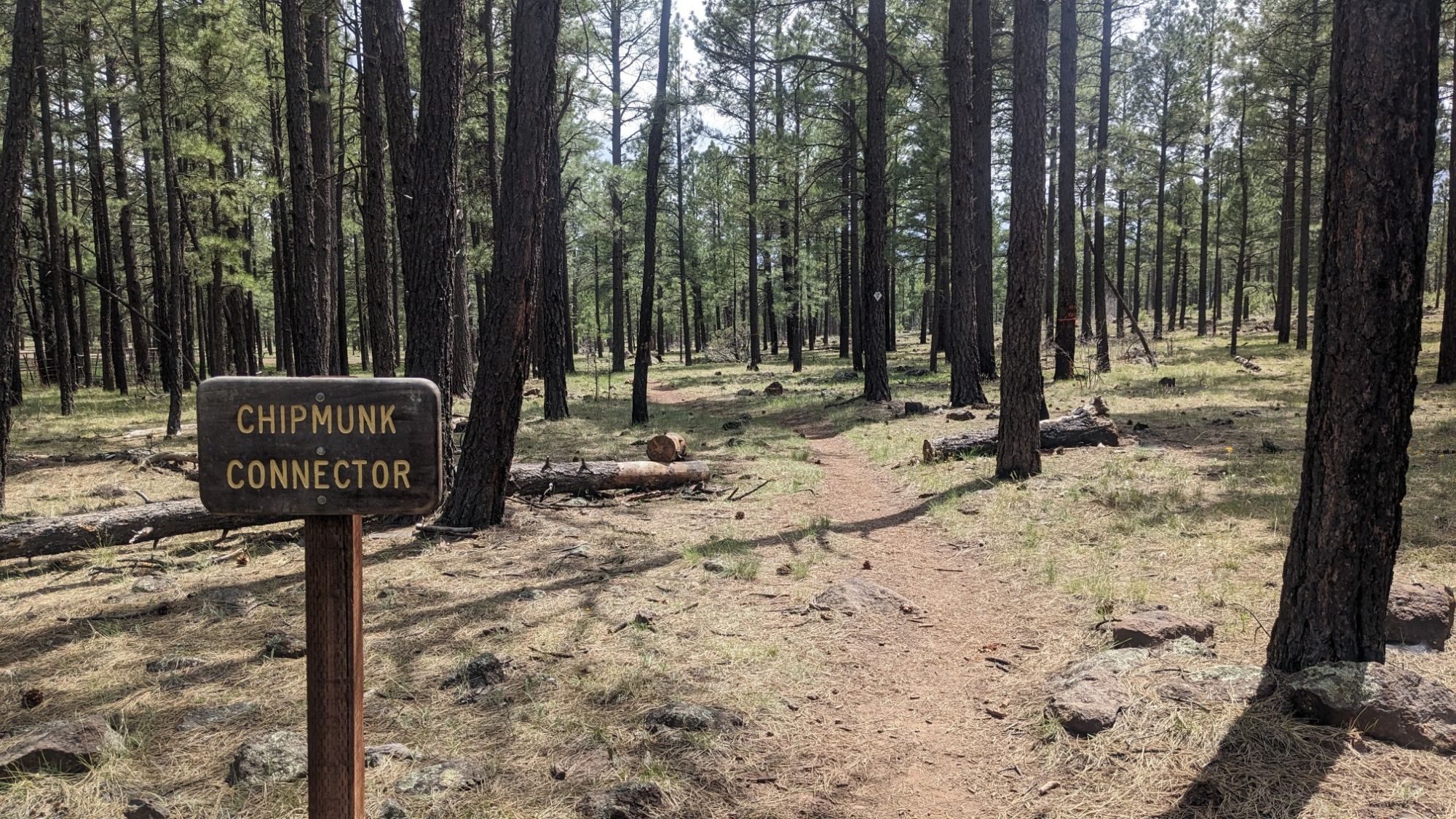
Some of these trails have the funniest names.
I stopped and had lunch at the junction to Pat Mullen Mountain, a popular short day hike with locals. I chatted with a few of them as they walked by, nobody seemed to understand how I could have walked here from Cottonwood AZ, about 300 miles away. After lunch I had a couple hours of gradual uphill walking and I noticed it was gradually becoming cooler. And then the clouds moved in and it got legitimately cold it was probably only 45°F / 7C.
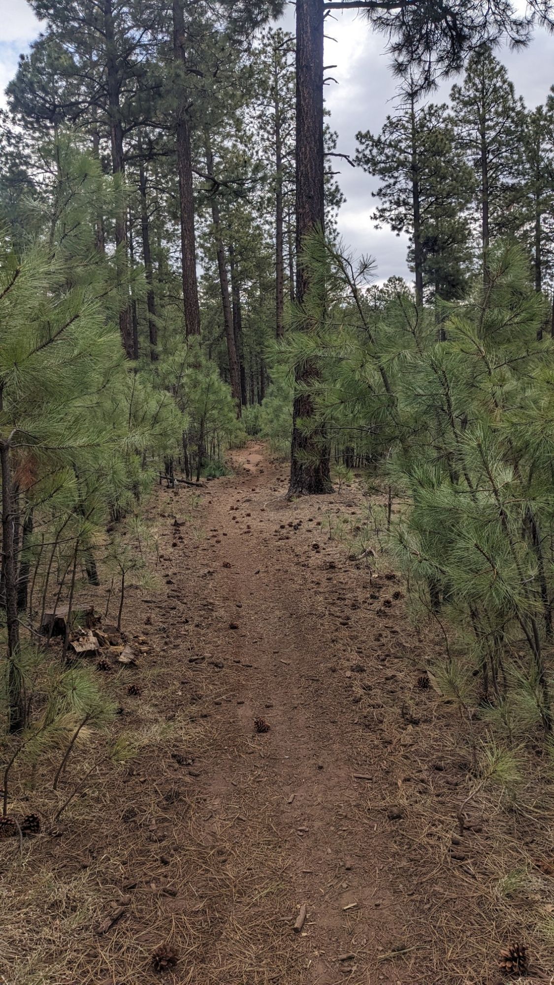
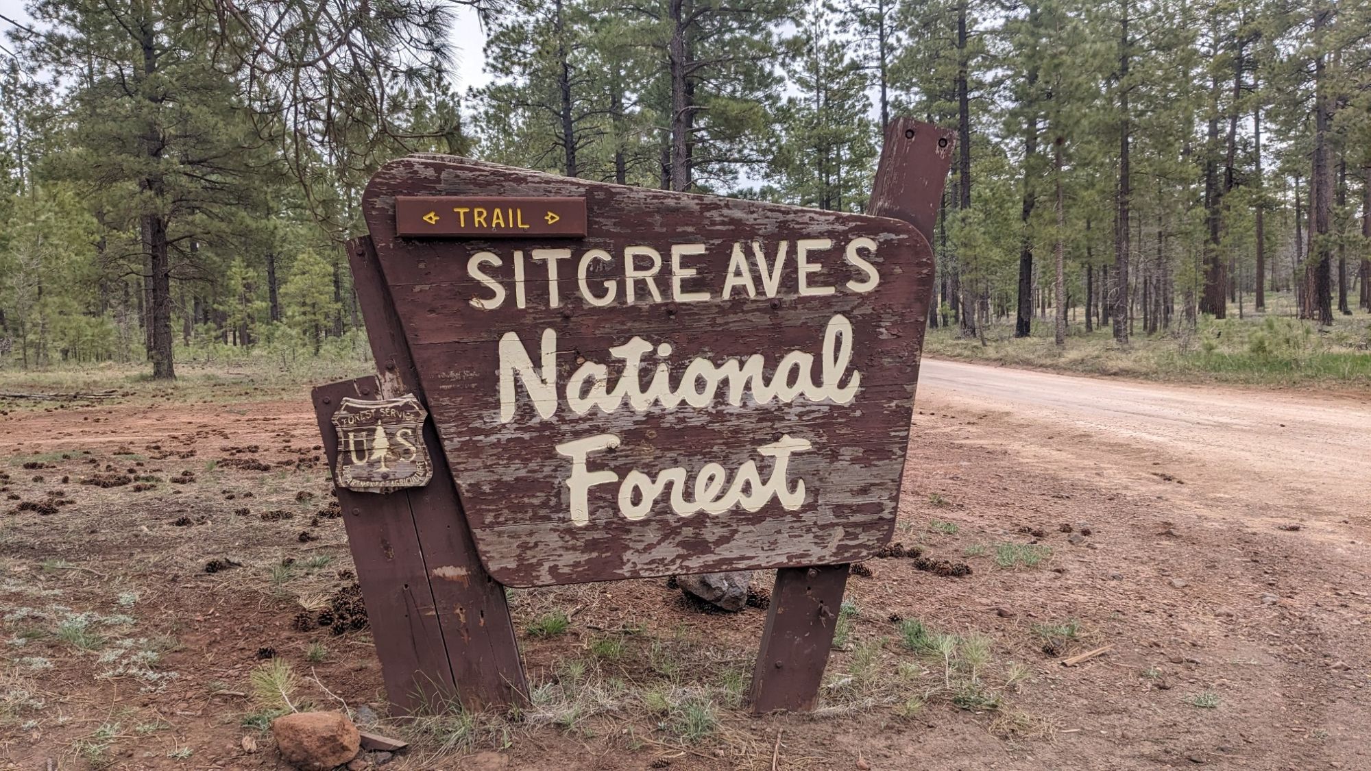
The trail emerged at a dirt road crossing, and I noticed I was at the boundary of the Fort Apache Reservation.
I stopped and put on a bunch of clothing layers and continued walking down the cold and windy dirt road.
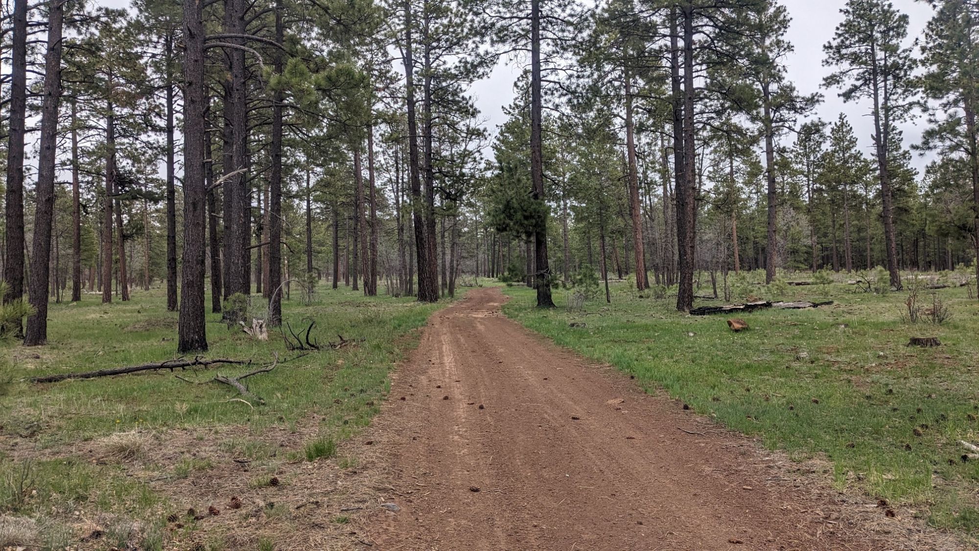
I even felt a few sprinkles of rain, which was the first time this has happened to me during this hike. But an hour later the sun came out and it was no longer windy.
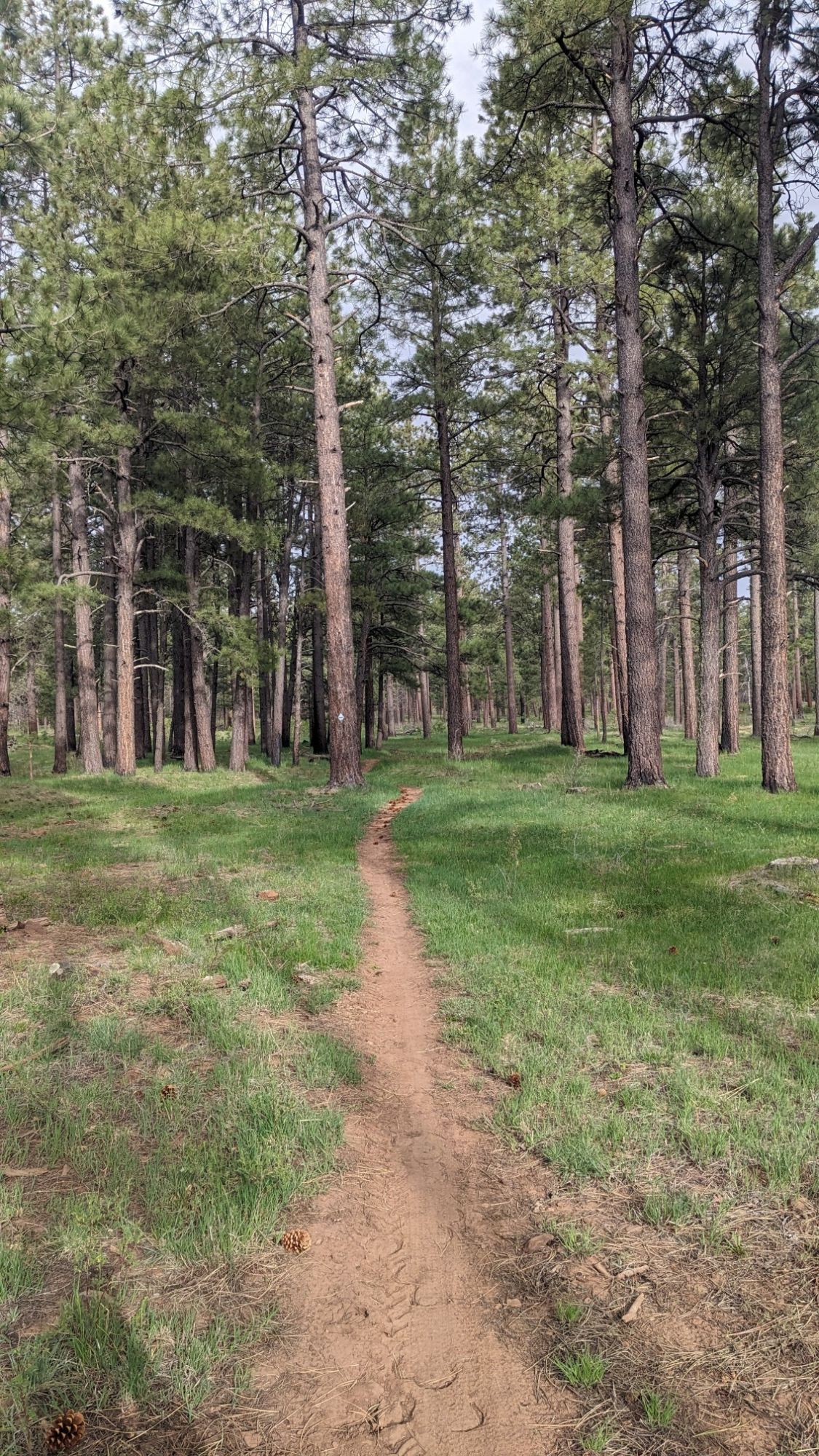
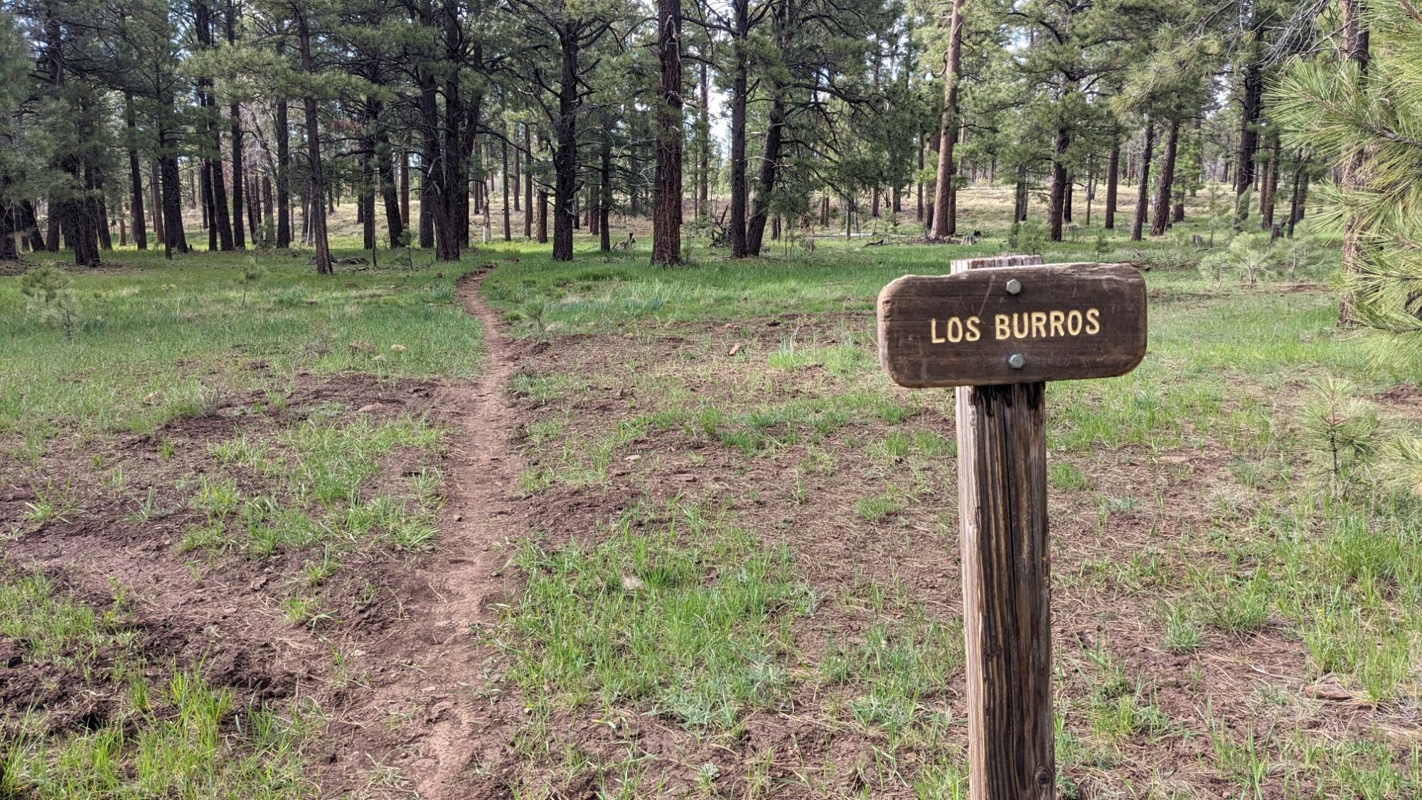
This might be my favorite trail name yet.
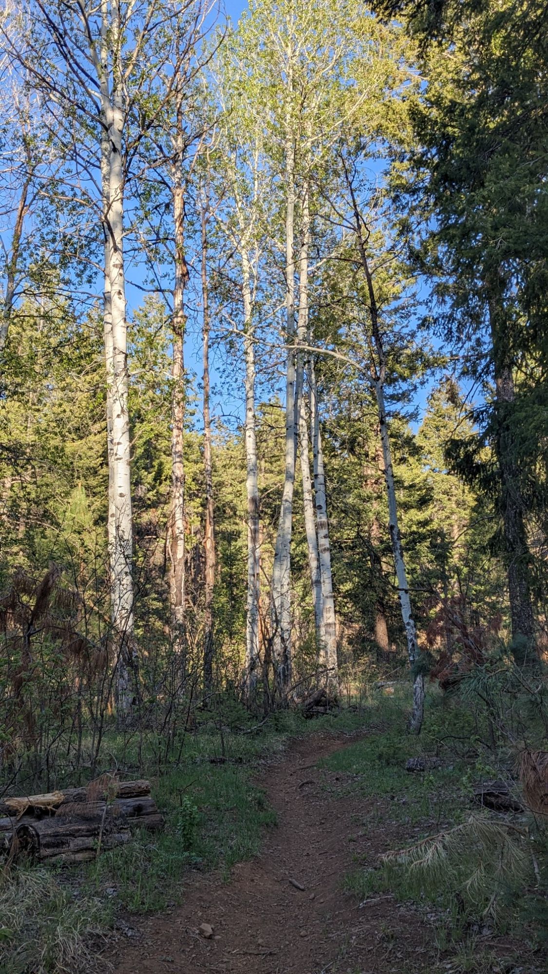
I noticed I was starting to see Aspen trees around, and I looked at my map and noticed I was over 8,000 ft elevation.
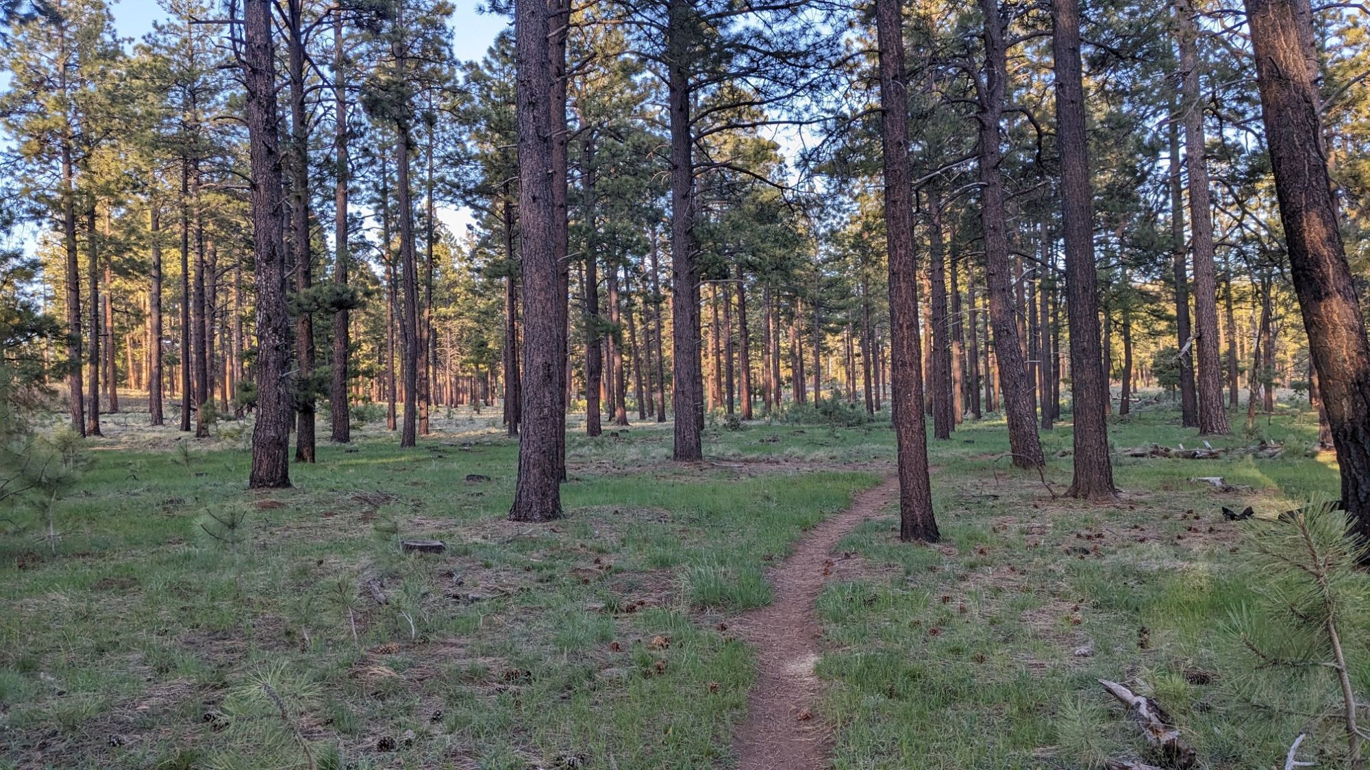
My goal was to make it to a little spring, so I hiked until 6pm through some very nice pine forest.
I found the little spring and it had some nice looking water. My next task was to find a flat campsite, ideally under some trees, which was much harder to do. But eventually I found a spot under some old junipers, which should give me a little protection from the condensation that will likely happen up at this colder elevation.
I just took this pic of the same flower in my Trumansburg gardenð
That flower is well traveled!